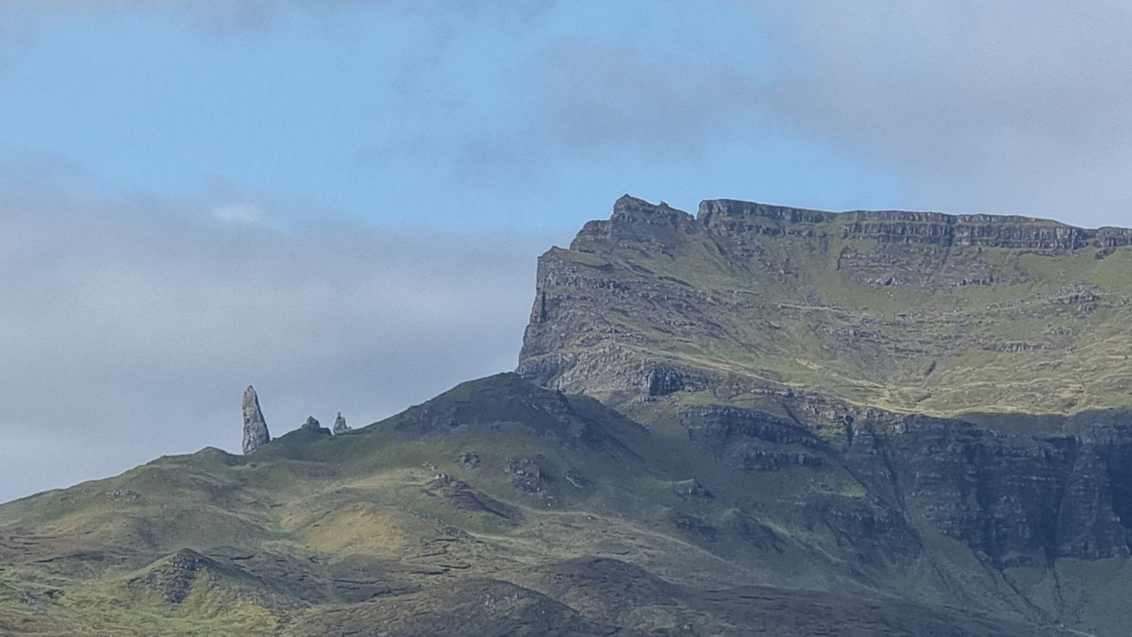
We managed to pick up a copy of the Skye Seacliffs and Outcrops guide on our way through Portree, with 5 minutes to spare before the shop closed – did you realise there’s a whole book’s worth of climbing on the island without even setting foot on the Cuillin? Not that you could see either the sea or the mountains as we settled in for a stormy night, but dawn brought the promised clear skies and magnificent views of the Old Man of Storr and the Quirang.

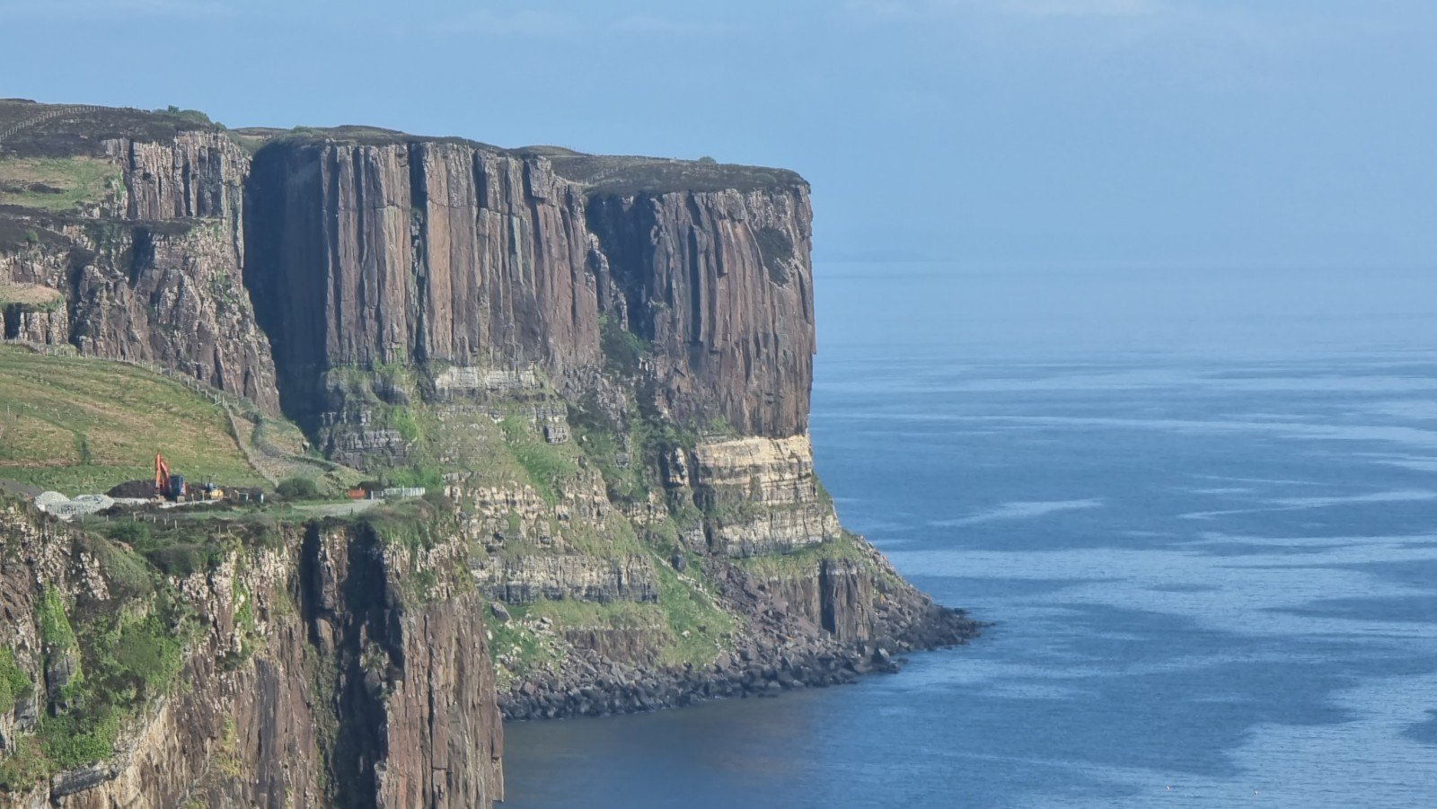
Our provisional plan had been to climb on Kilt Rock, the iconic “Devil’s Tower by the Seaside” formation of basalt columns, but leafing through the guidebook our eye had been caught by a different extraordinary rock feature a bit further up the coast at Flodigarry (and anyway the parking for Kilt Rock was closed for refurbishment).
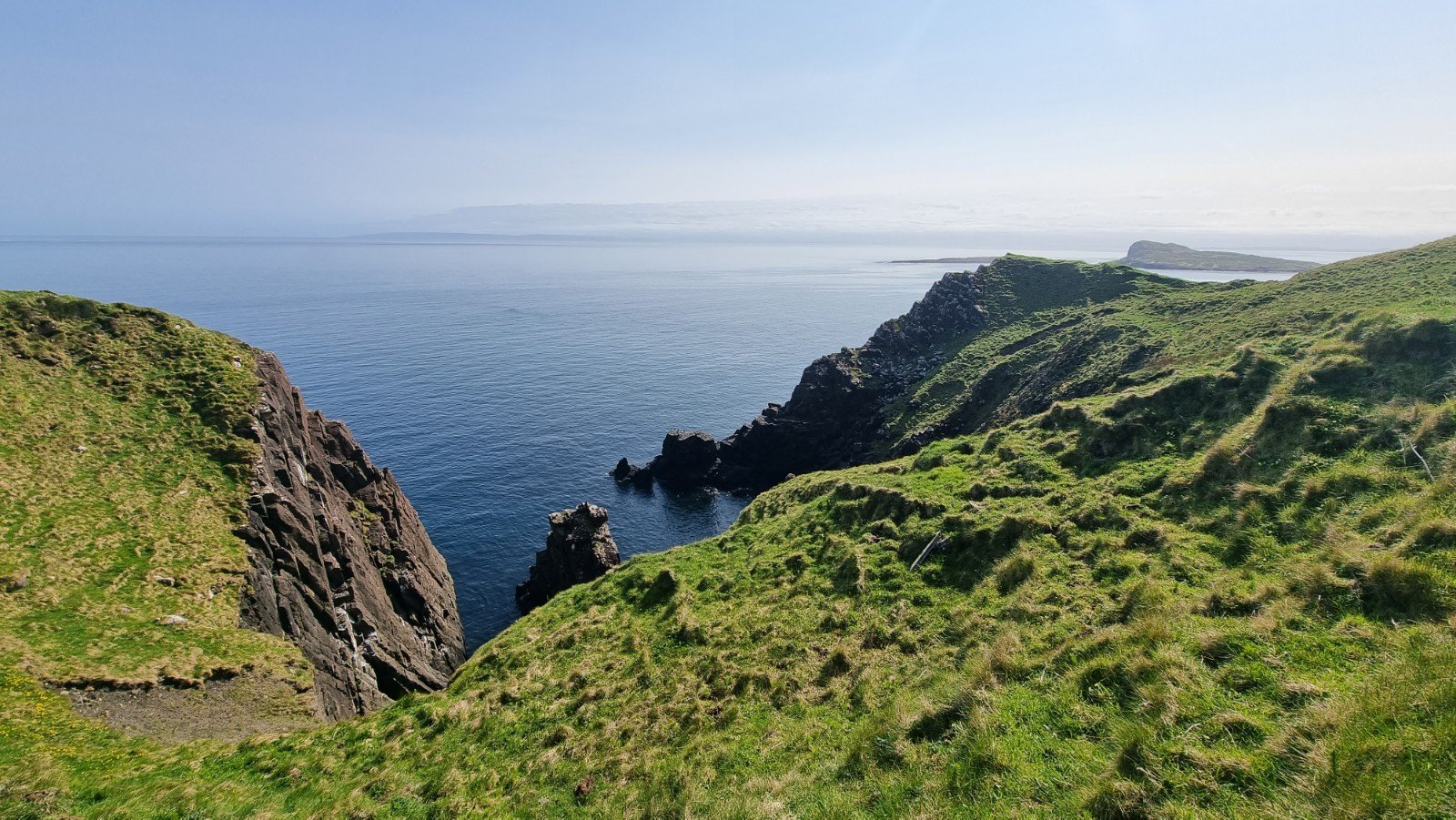
Heading north, it’s nice to leave the bustle of vans and tourist traffic – Flodigarry is peacefully off the main tour of the honeypots. The parking is limited, in a couple of scrapes off the coast road (and not obvious, but trust the grid reference in the guidebook). The start of the path isn’t obvious either, as a new fence has seen the removal of the stile that is described, but walk down to the bend in the road and there’s a gate, where a short Land-rover track starts. Follow this briefly and then cut up the hill for a few metres and you’ll find yourself on a well-defined trod which contours the hillside and finds it’s way through a shallow dip to pick up a natural ramp line running down to the coast (a delightfully pleasant approach when we’d feared a bog squelch!)


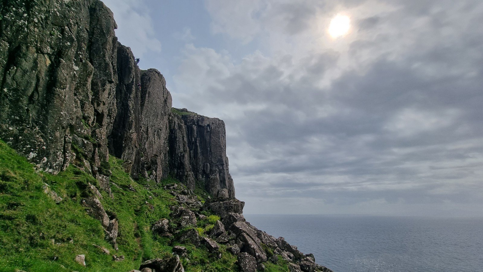
There’s a series of seacliffs around a couple of small headlands, as well as some more columnar walls above sea level. Our goal was a couple of 3* HVSs on the South Tunnel Buttress which bounds the right hand side of a huge through cave burrowing its way under the headland.
You can just about make out the sea cave at the foot of the sunny diamond shaped wall (steeper than it looks!) and if you look closely you’ll see that it is bisected by a slender leaning pillar, which gives the distinctive start to Spantastic.

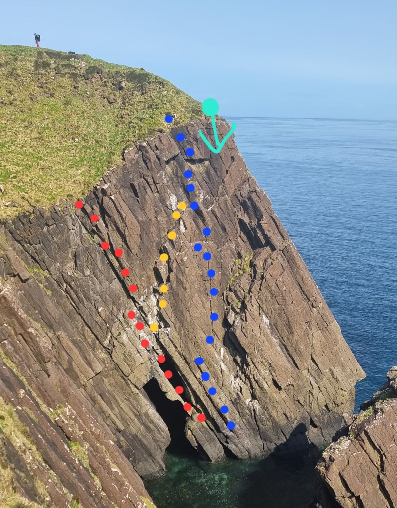
There are a bunch of steel spikes for an ab point (of unknown depth or age, so it’s worth stringing them all together!) A 60m will just get you down.

The pillar itself is maybe 20ft high and requires a bit of commitment and some gritstonesqe slab technique, without much in the way of gear. Steady but not for the faint hearted…
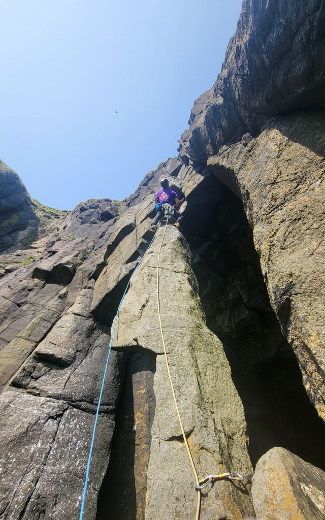

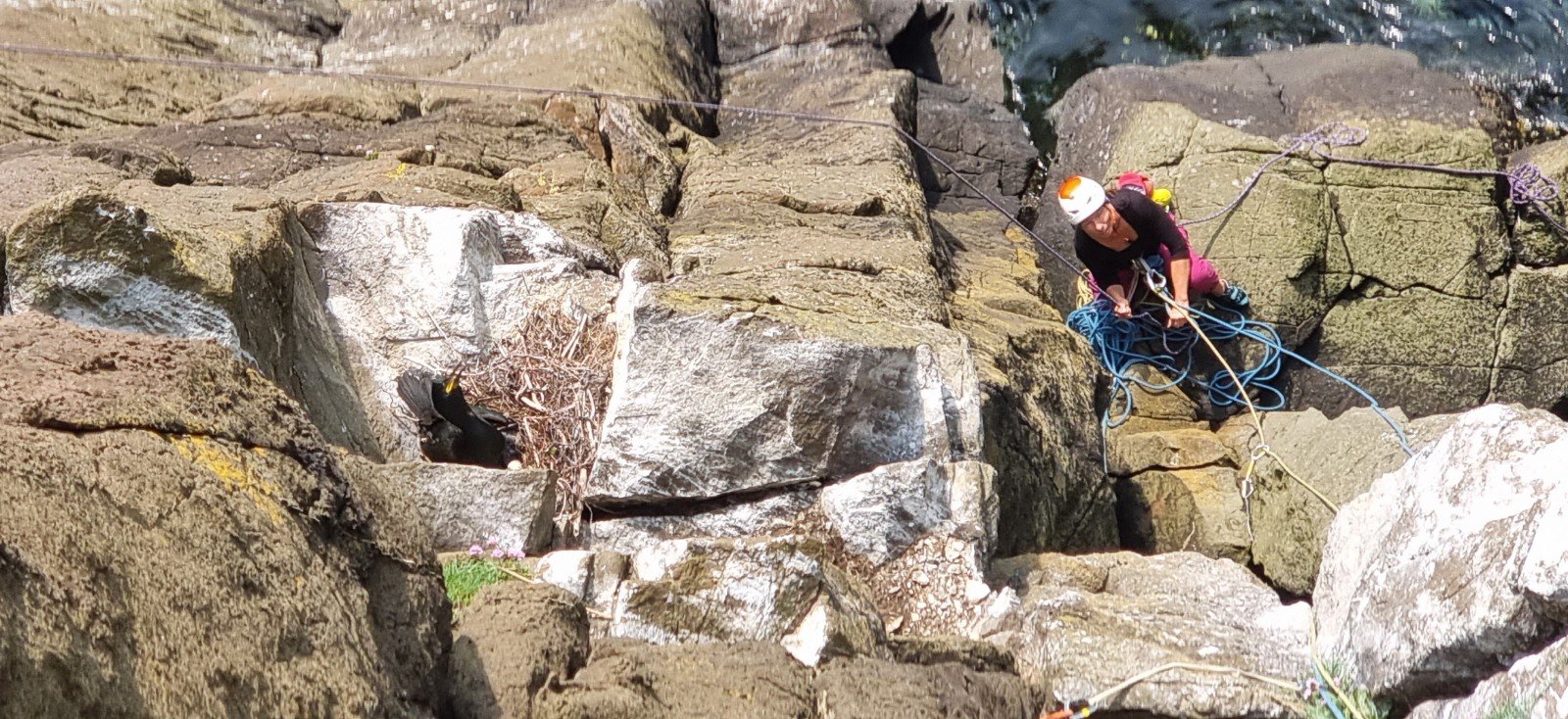
… and it was something of a relief to arrive at the top and get some gear in. Job done, or so I imagined, until questing higher to the easy traverse across mid height ledges, I heard a bit of a commotion and the telltale guano streaks from a couple of nests. Not wanting to disturb the residents I forged on up the continuation crack line for a bit of accidental new-routing. You can make out the Shag”s nests in this shot from halfway up the crag.
Here’s a bit of a topo showing the line we took (red) the correct finish (orange) plus the line of Lucy in the Sky (blue) and the ab point (green) which can be backed up almost at the gearing up spot (Helen!) Not sure our line is worth writing up (maintains a more consistent HVSish grade and makes the route entirely independent) but the situation throws up all kinds of options for fun names: One Flew Over the Cormorant’s Nest? Sp-Angry Birds? Anything to Avoid a Shag?
A very pleasant place for a picnic

Having recced the location of the nests, we were able to rap in again to enjoy Lucy in the Sky without any further feathery encounters.
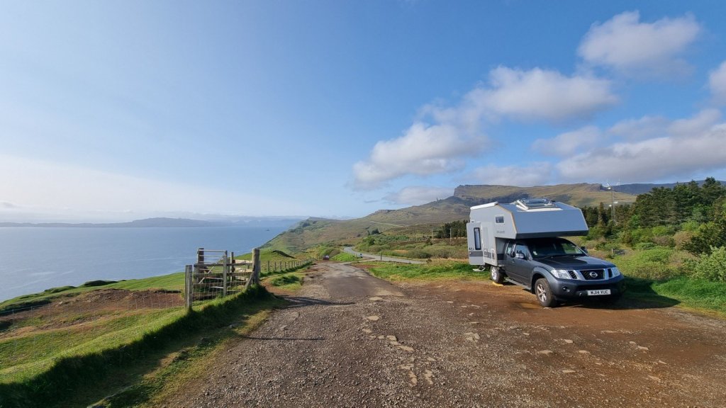
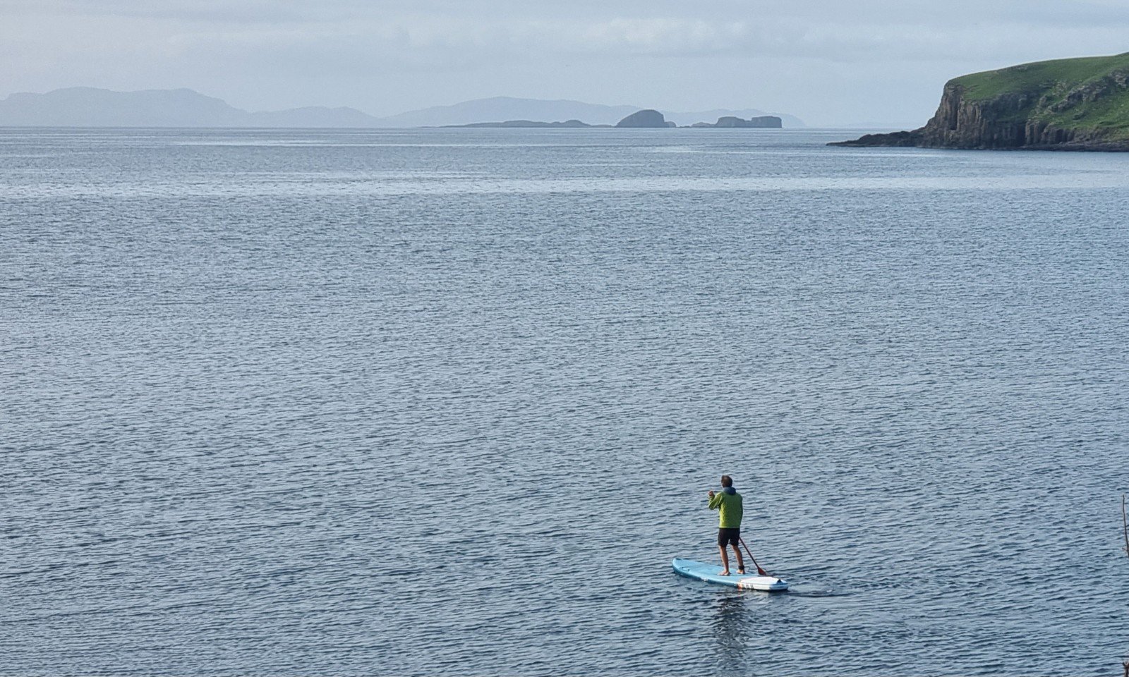
Back on the road, further around the Trotternish Peninsula, a bit of cunning scouring of Google Maps by Helen identified a plum van spot with the added benefit of a boat ramp. With a millpond sea and evening sun it was time to inflate the paddle board!


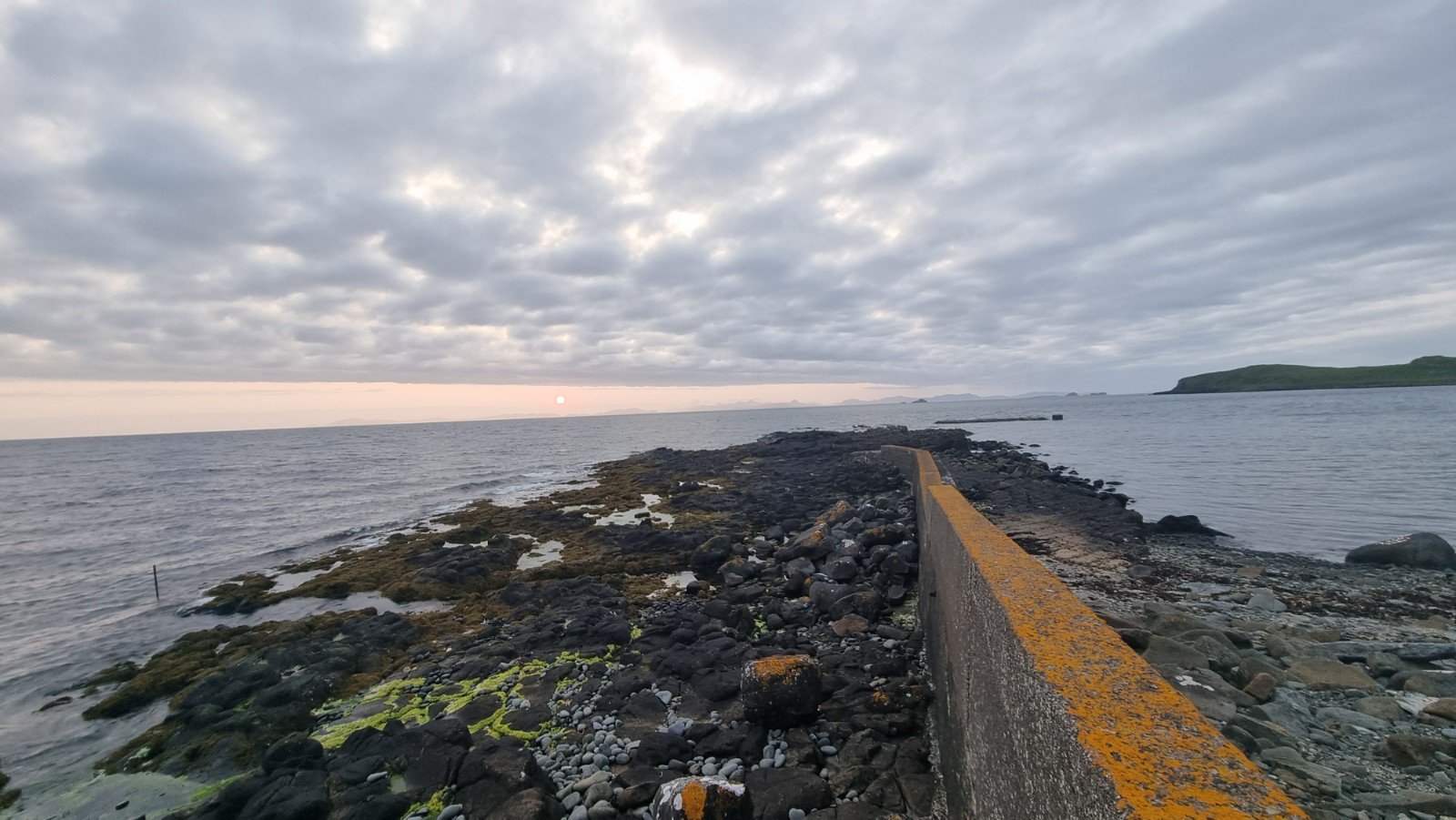
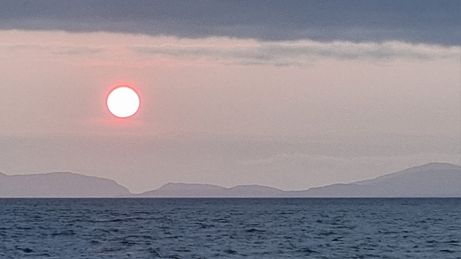
… before settling in for a spectacular sunset over the Outer Isles.

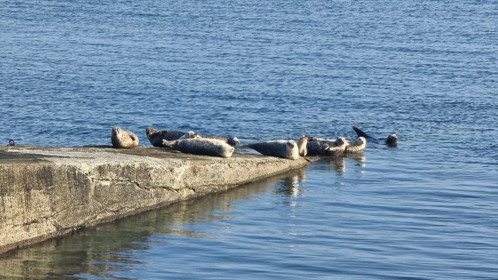
Next morning, our plans for a further SUPB excursion were scuppered by a group of seals hanging out on the ramp and catching some rays.

Instead we hopped across to the other side of the island to Neist Point.

We’d planned to check out the sea-level crags of Destitution Point but our enthusiasm had been curbed by an encounter with a man-eating bog on the approach path, and we’d lost the will to trek down to explore. It was blowing an absolute hoolie, which didn’t help matters.

Instead we decided to do a couple of routes on the Financial Sector, and were lucky enough to bump into Joe who kindly allowed us to use his ab rope. A bit more sheltered at the foot of the crag…

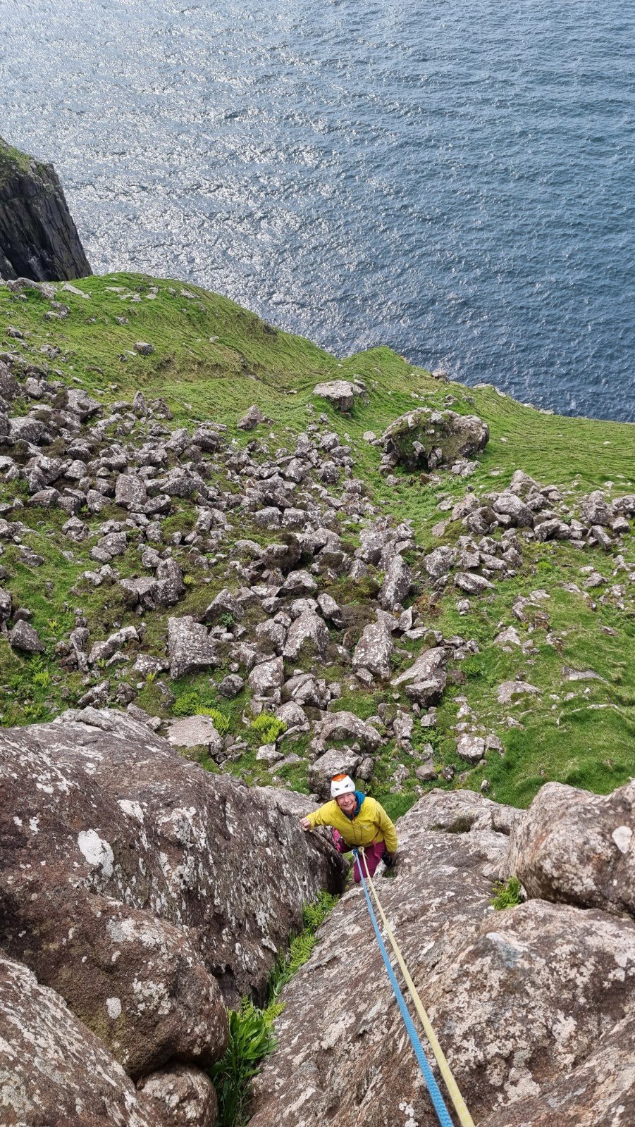
Here’s Helen on Midas Touch, VS

… and Terminal Bonus, HVS
Meanwhile I got a couple of atmospheric shots of Joe and friends on an E1 over to the right.

… and a final view of An t-Aigeach, home to the Extreme Rock tick of Supercharger – 12CB4 (maybe!)


Pingback: Skye – an island of contrasts | RockAroundTheWorld·