There’s loads of Rock in this blog post, and we’re almost halfway Around The World, but sad to report there’s only a tiny bit of climbing. This is Week One of our Chile roadtrip, which we’ve spent in the Atacama Desert. Sadly, whilst a sprinkling of crags have been developed in the region, they’re all banned at the time of writing. Fear not, you’re in for a feast of desert experiences, from Volcanoes to Vicuñas, Canyons to Cacti, and Thermals to Flamingos.
Our base for the week was Hotel Cumbre, a very swanky pad (other accommodation options are available) in San Pedro de Atacama, the former oasis settlement and now desert tourist hub. The local community has enforced a single-story planning policy, and everything is built in authentic stone and adobe, but there’s no getting away from the fact that this is tourism on an industrial scale – albeit a fairly sensitive one.
There’s a well-established “to do” list, which a web trawl or perusal of Rough Guess / (not so) Lonely Planet will highlight. These are all available as organised tours (witness the ubiquitous Sprinter minibuses) but we decided to rent a vehicle and plough our own furrow – a decision we definitely didn’t regret. Slightly more open to post-event review, we rented a high clearance pickup, but accidentally picked a 2wd unit. This got us to almost everywhere we wanted to go (spoiler alert – until our final day). TBH a regular car would get you most places.
Before diving in, it’s worth passing on the ChatGPT advice to plan your itinerary to gradually acclimatise during your visit. San Pedro itself is around 2,500m and a number of the places you’ll want to visit are 4,000m plus. Take it steady, drink lots (of water!… but not from the tap) and listen to your body…
Valle de la Luna
Valle de la Luna is an obvious first day objective, near to town and a good dose of desert scenery.
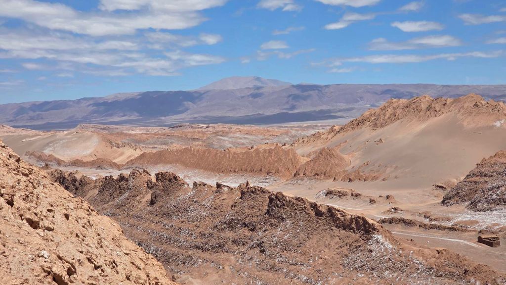
Giant dunes, tottering cliffs…
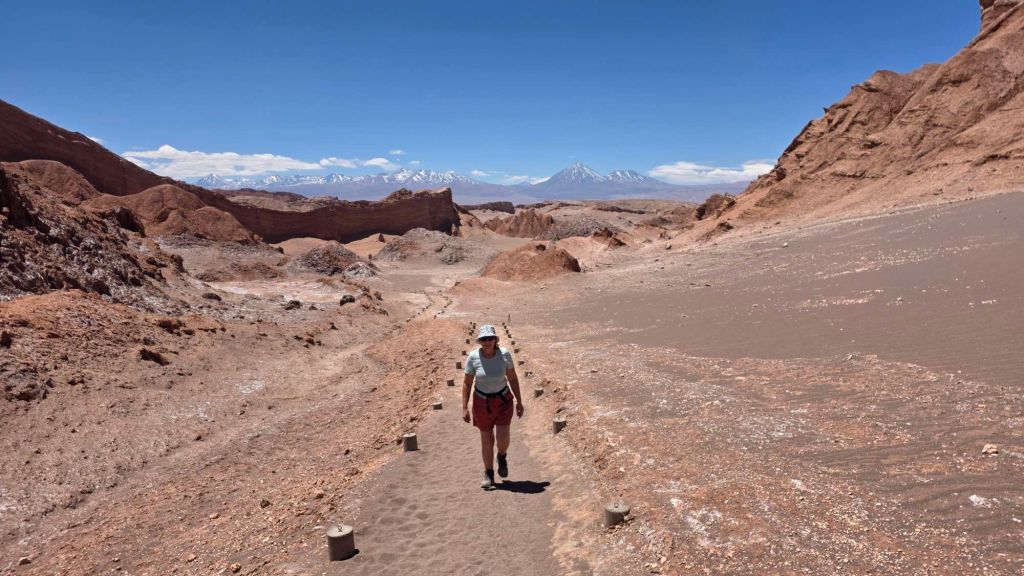
… and funky hoodoos do some justice to the promised moonscape.
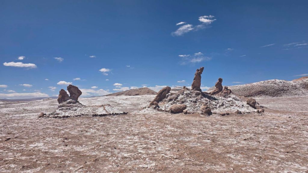
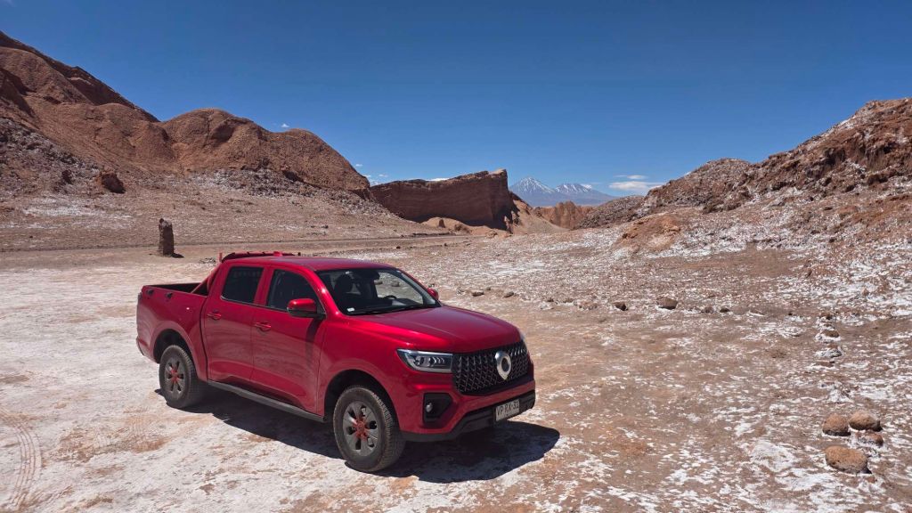
You’d be fine in a regular car, though we were in our subtle, blend-into-the-landscape pick up. They’re pretty much all red – I guess they’re easy to spot when you need pulling out of the desert.
We’re huge fans of desert landscapes – here’s a write-up from trips across three continents. https://rockaroundtheworld.co.uk/wp-content/uploads/2016/09/just-deserts-climbing-in-arizona-namibia-and-the-outback.pdf
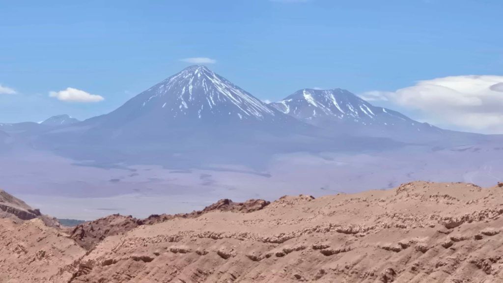
The Atacama has all the ingredients, but it’s the constant backdrop of stunning conical volcanoes dotting the horizon that’s its USP.
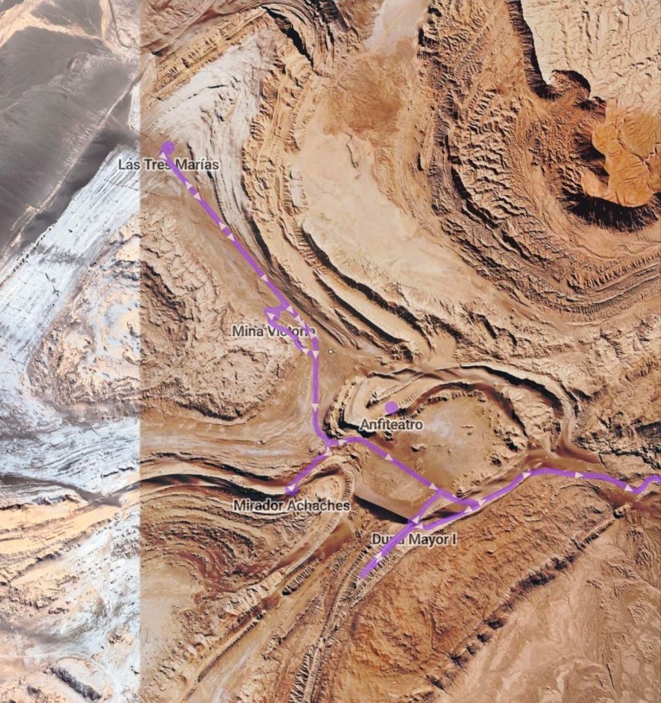
Here’s an overview of the typical Valle de la Luna tour to give you an impression of the moonscape.
Cañón de Guatín – Valle de los Cactus
Upping the altitude a bit, a 30km drive north of San Pedro gets you to the tiny settlement of Guatin at about 3,200m. The Cactus Valley is really quite extraordinary, tucked out of sight in the middle of the dryest desert on the planet. Just a few hundred metres from the car, you drop into a lush, verdant stream bed, littered with giant Cardon Cacti (very like a Saguaro to look at).
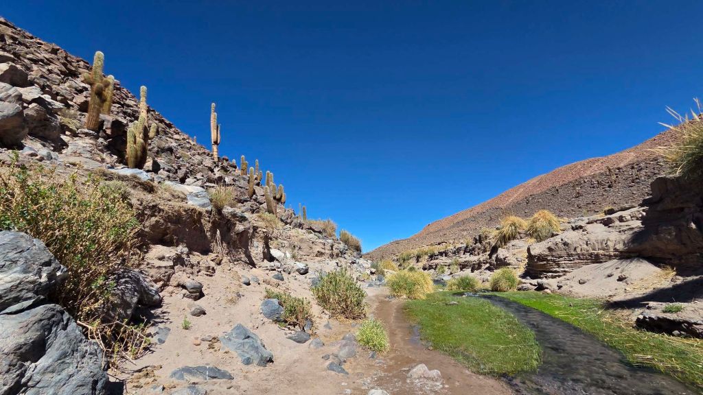
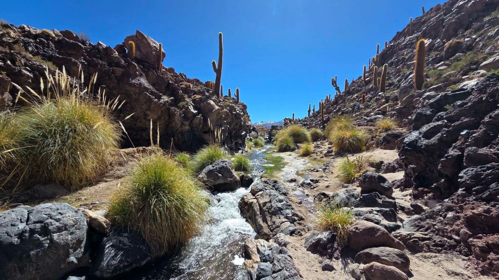
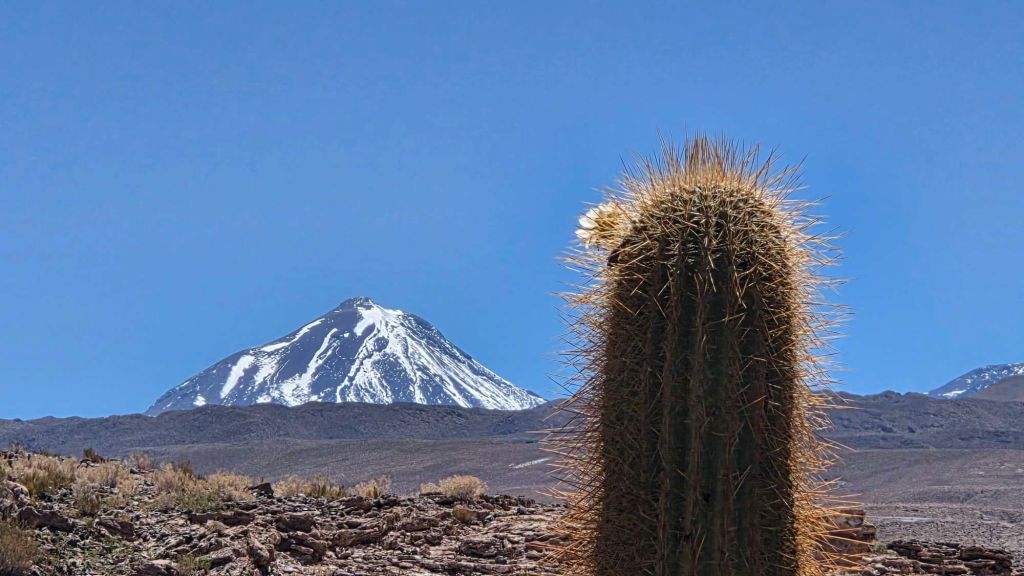
The canyon sides steepen impressively as you head downstream, and the path peters out after a kilometre or two. There’s supposed to be a 10km there and back walk to a “hidden waterfall” at the far end of the canyon, but dropping down to the waterside looked like a recipe for a wetting, so we looped back to the truck.
A search on WikiLoc threw up a shortcut to the waterfall, starting on a dirt track a few kilometres back down the road towards San Pedro. The truck came into its own, saving a couple of kilometres of a dreary walk, from where a well-marked path drops steeply into the canyon.
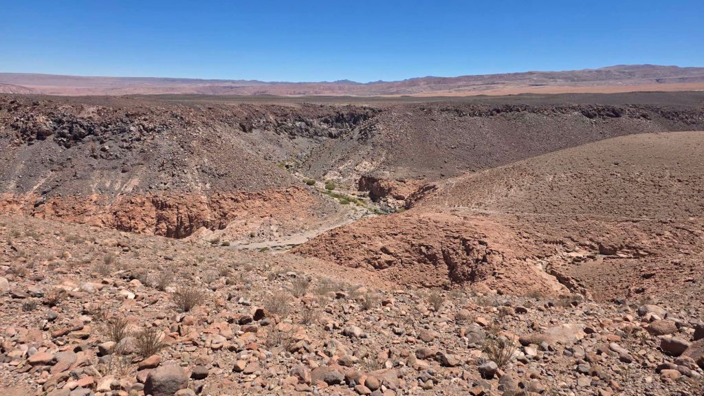
The waterfall is indeed hidden as advertised, tucked around a bend in the canyon.
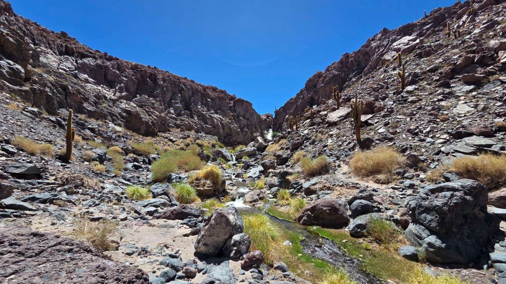
It’s no Niagara, but it’s a startling sight to see so much water in such an arid landscape.
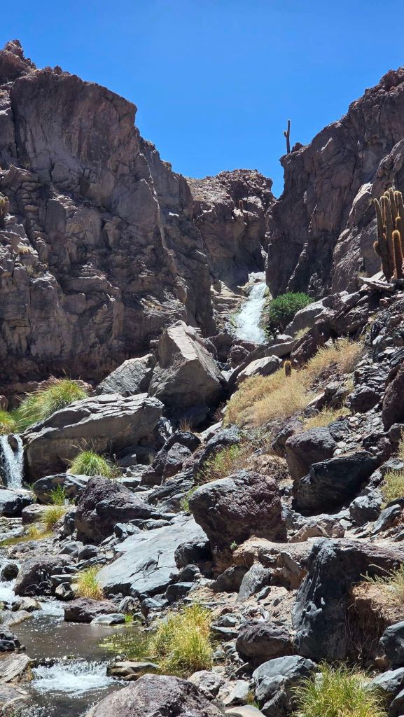
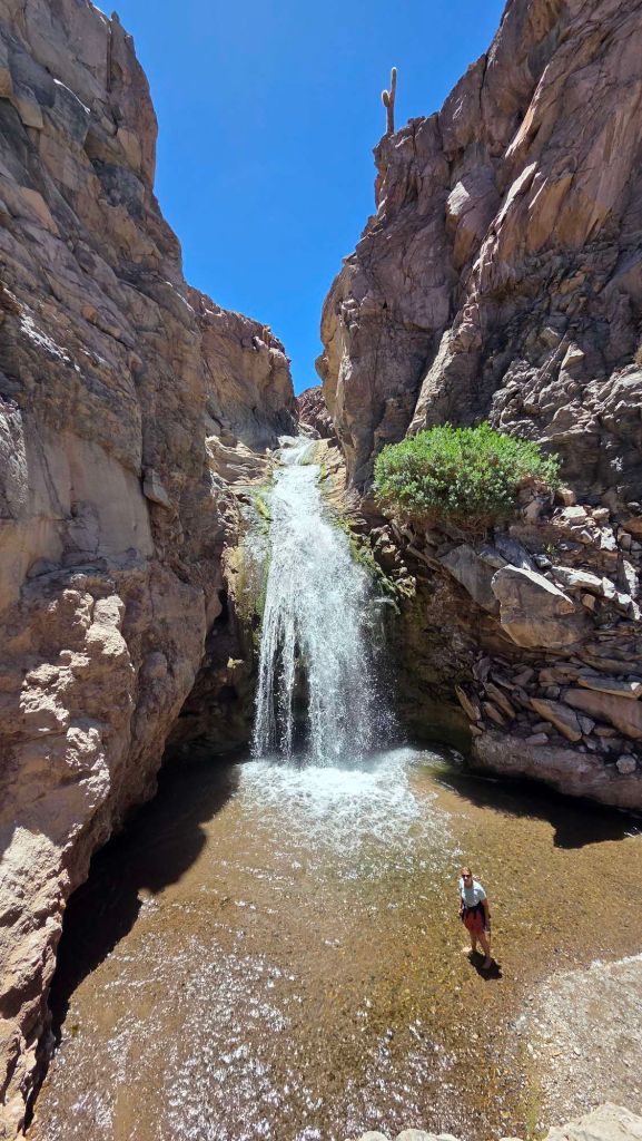
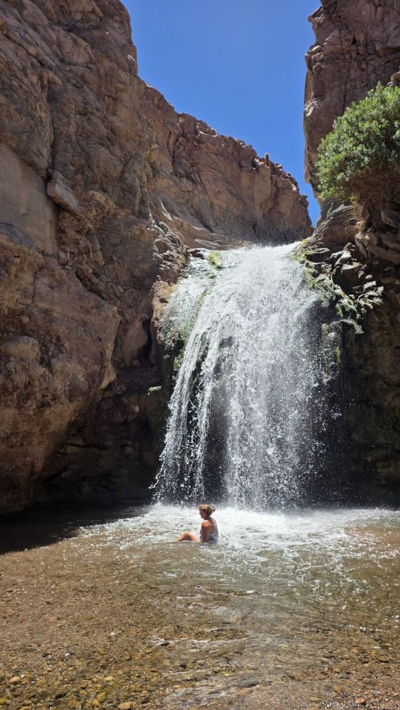
… and you can’t splosh about beneath Niagara!
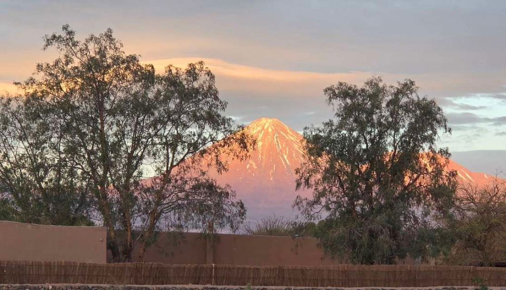
Back at the hotel, and San Pedro’s iconic Licancabur makes for a great sunset.
Tatio Geysers
The Tatio Geysers are apparently the highest geothermal field in the world, located about 90km north of San Pedro at an altitude of around 4,300m. It’s a 90mins, bone-shaking drive over corrugated dirt road, but straightforward in a regular car. The standard schedule for the organised tours is a 5am departure from San Pedro to be able to view the geysers at dawn, when the plumes of steam are at their most impressive. Downside is it’s freezing cold and chock full of hordes of tourists. We went for a more leisurely start, arriving around 10am, and had the place to ourselves, with the desert sun making the 5C max temps feel toasty.
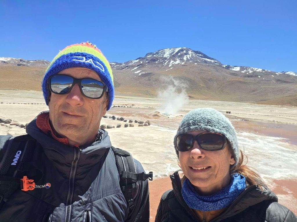
However early you got up, these aren’t going to rival Old Faithful for scale.
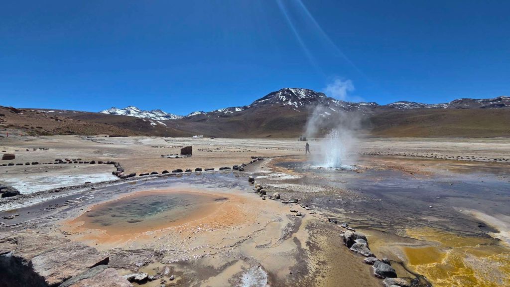
The beauty of the place is in the vivid colours…
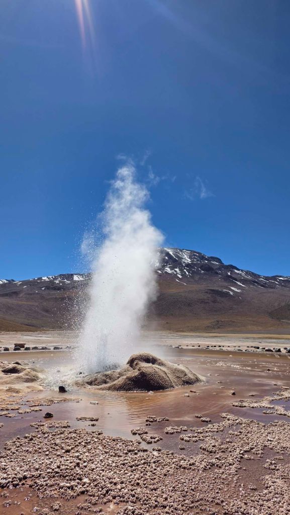
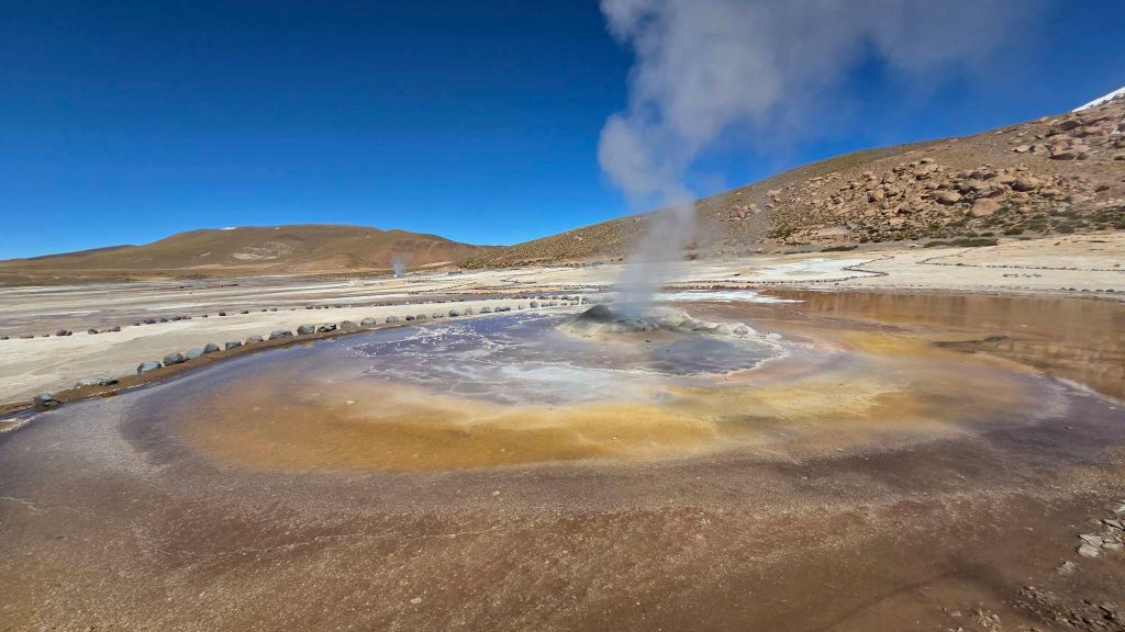
… and volcanic backdrop.
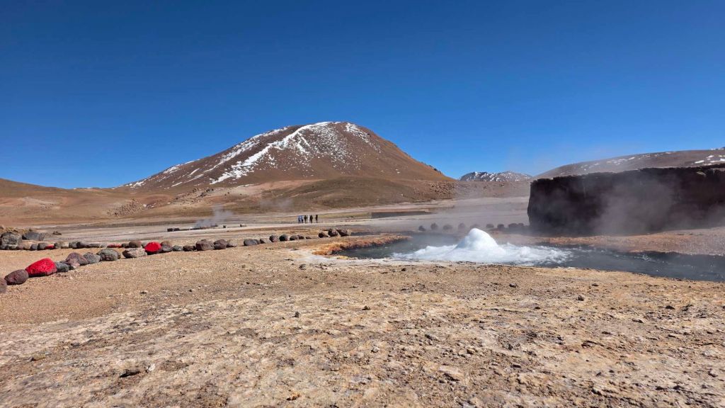
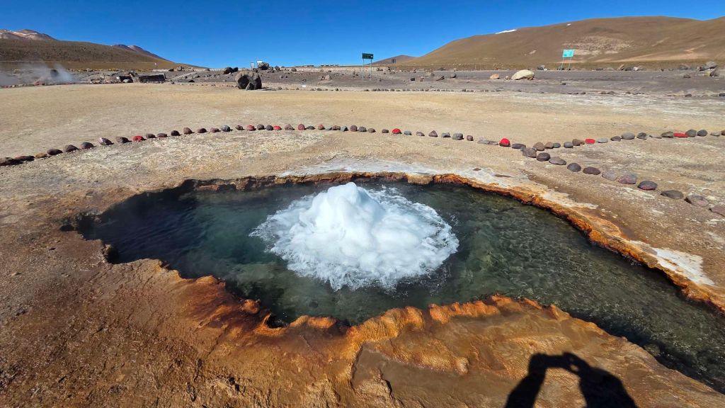
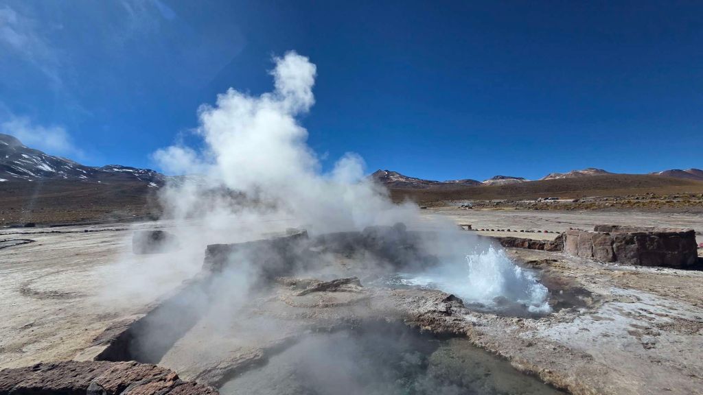
A short distance from the main geyser field, a bumpy drive and short walk bring you to Geyser Blanco, a much less impressive feature, but with a more remote feel.
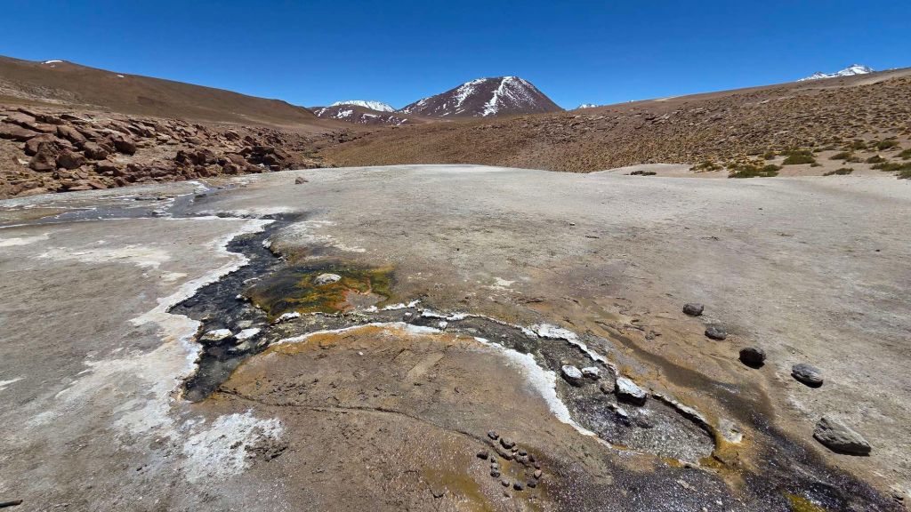
Dropping down from the geyser to the canyon below opens up another magical verdant vista.
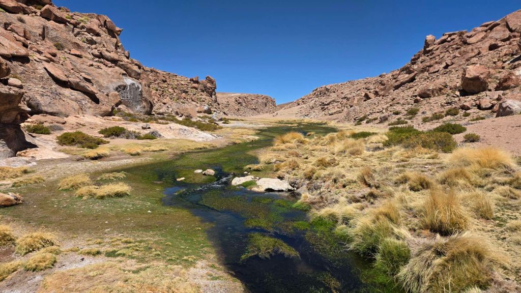
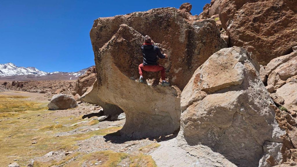
Towering volcanic cliffs line a broad valley. The rock is peppered with pockets, cracks and flakes, and looks very climbable. Closer inspection reveals that it’s quite fragile, but I had a token boulder nonetheless. (I promised you a tiny bit of climbing!)
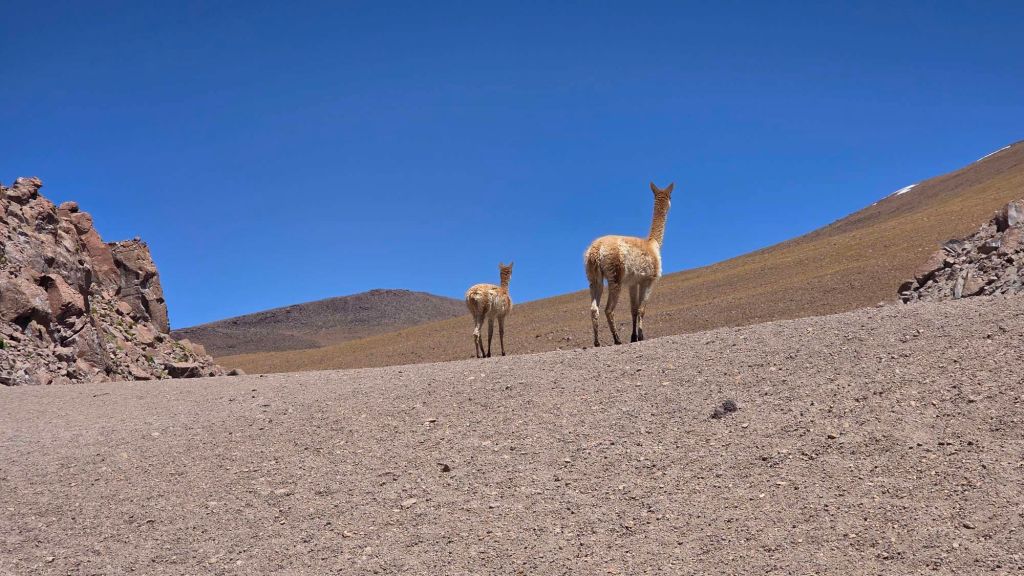
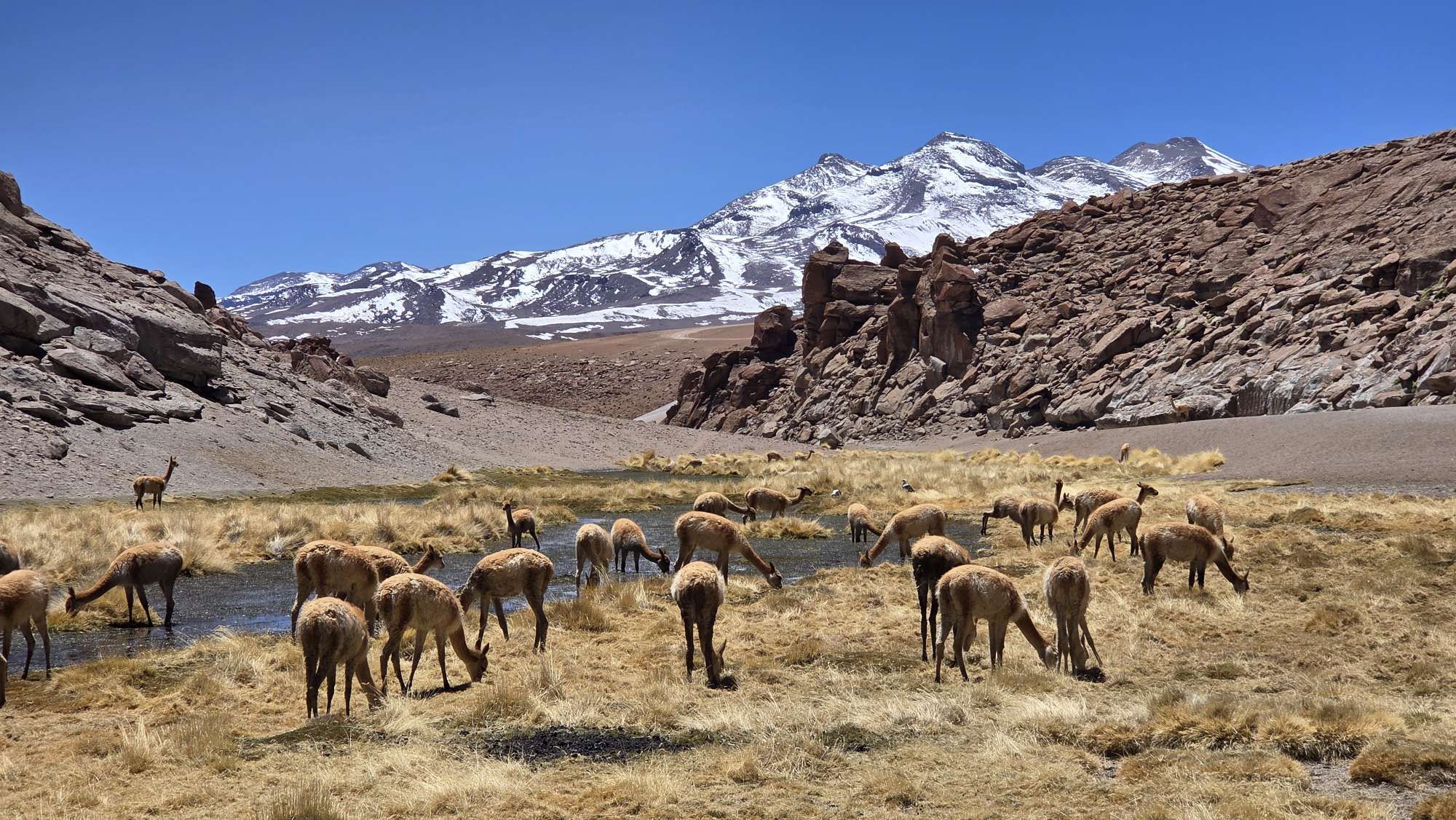
A gushing stream runs along the base of the valley, feeding an abundance of greenery. Not surprisingly, this is a magnet for wildlife…
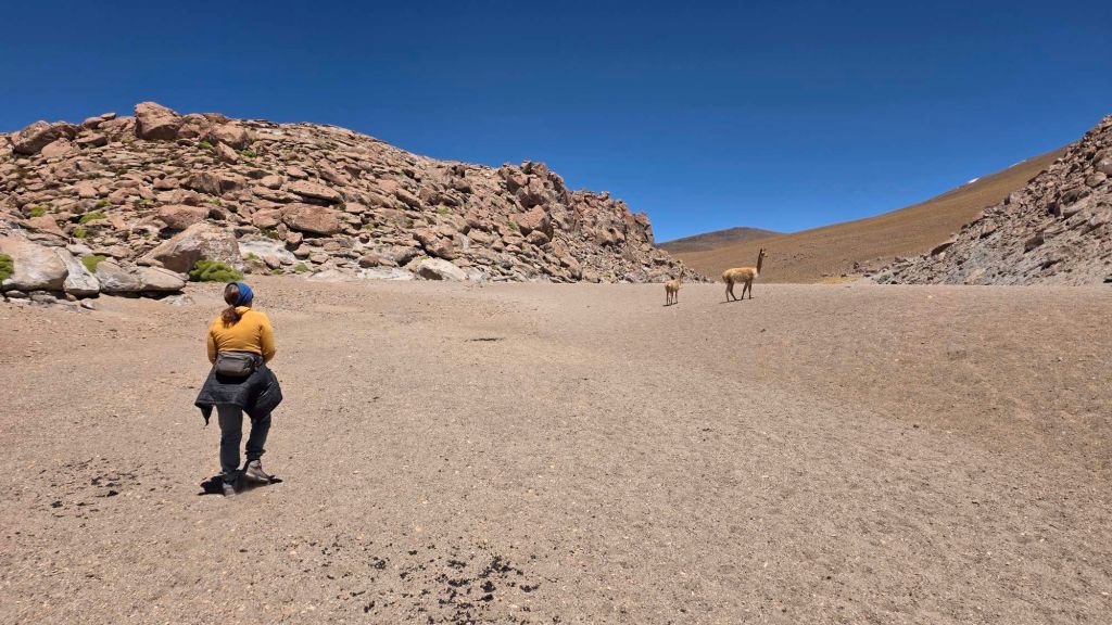
Vicuñas (not Llamas)…
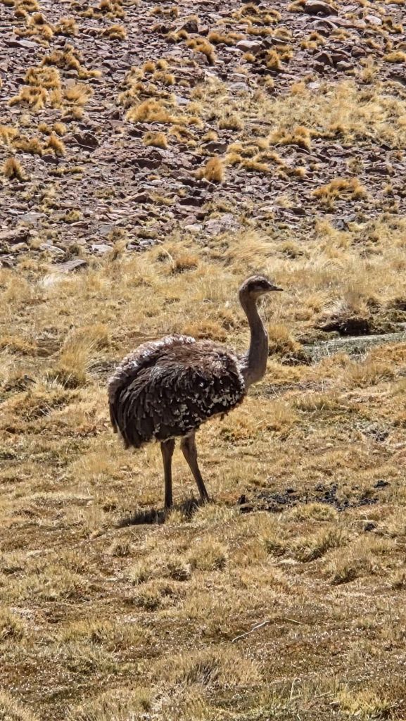
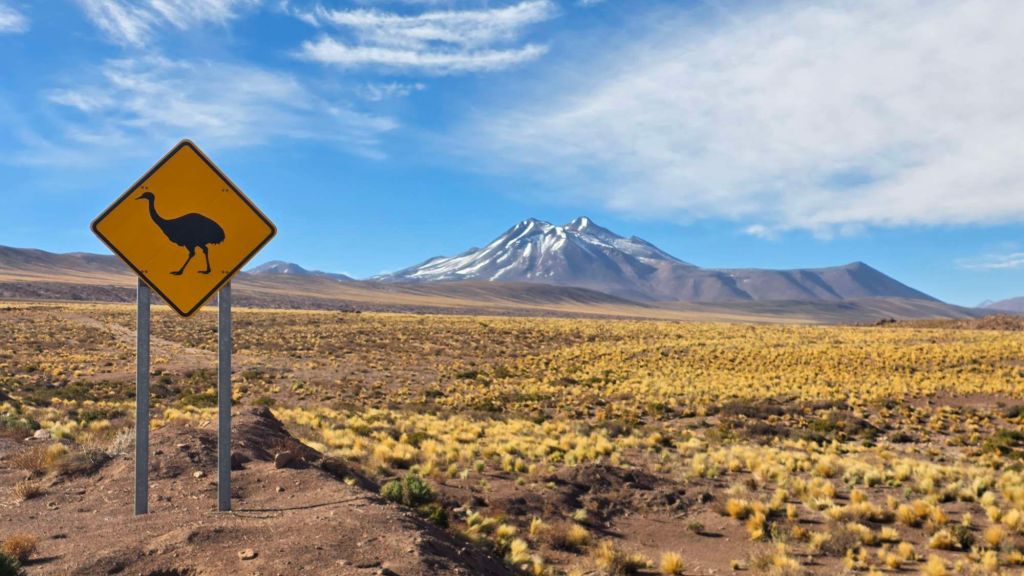
… and a Rhea (not an Ostrich / Emu)
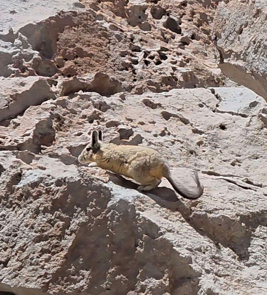
But our favourite was this cuddly looking critter…
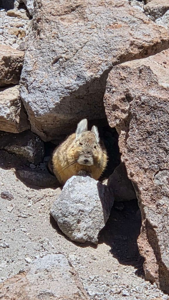
Not a rabbit, but a Viscacha – according to Wikipedia, a South American rodent belonging to the family Chinchillidae that resembles one due to convergent evolution.
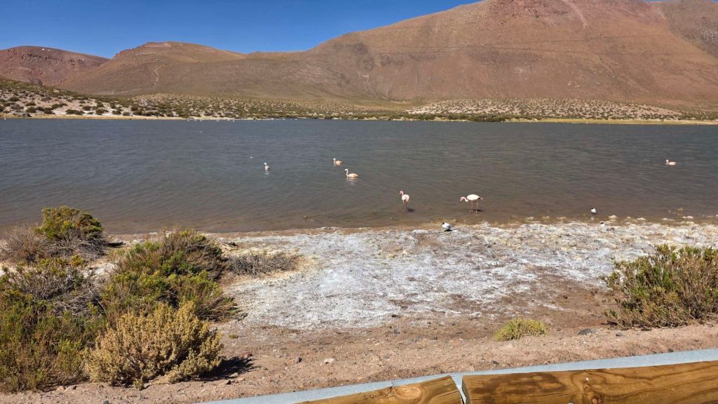
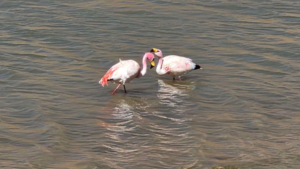
Heading back to San Pedro, you can get a break from the bumps with a stop at the lakes above Machuca, for a bit of Flamingo spotting.
Valle de Catarpe – Garganta del Diablo
Catarpe, or The Devil’s Throat, is another geological marvel in easy reach of town.
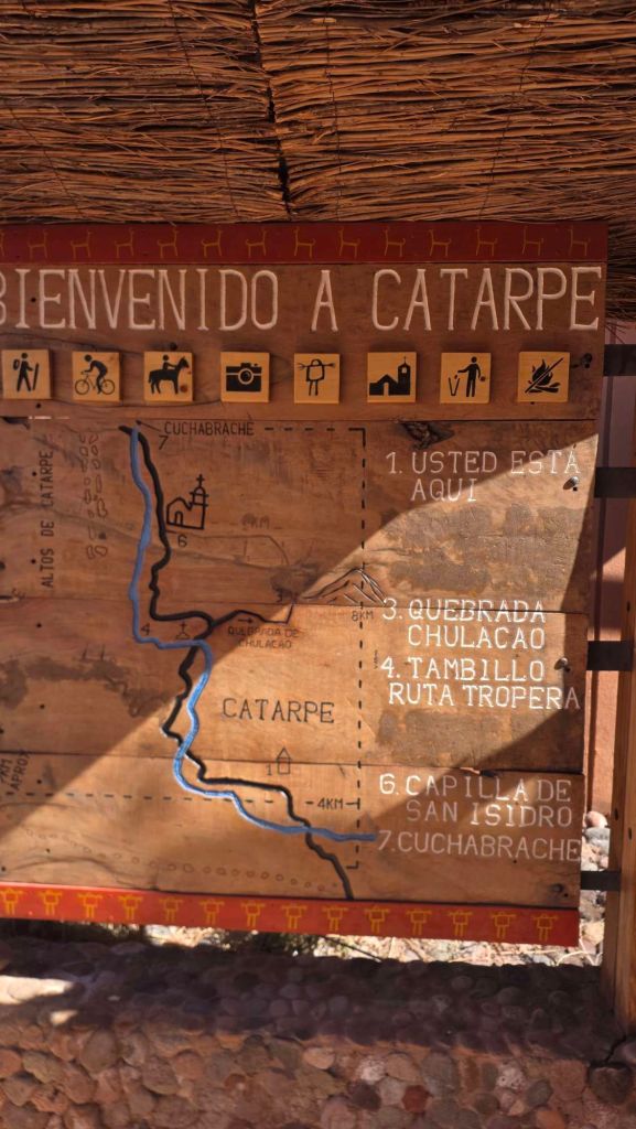
I’m a bit cynical about anything named “The Devil’s ###” but Catarpe turns out to be well worth an explore. Like almost all of the “attractions” hereabouts, it is accessed for a modest fee (typically £5 to £10) which goes into the local community. If you’re over a certain age (the Big Six Oh) and you can swallow your pride, there are discounts available – remarkably in this case from $5 to only $1!
It’s a 2.5km there and back trip (5km total) through extraordinary water cut channels through mud cliffs.
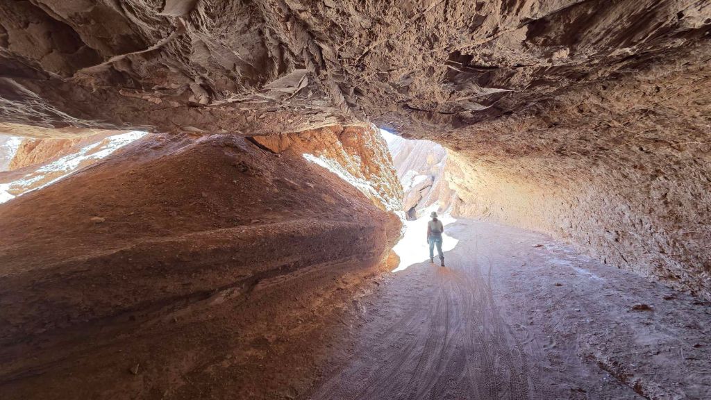
Top tip, which we’d have twigged with a bit more research, it’s a great trip to do on a bike.
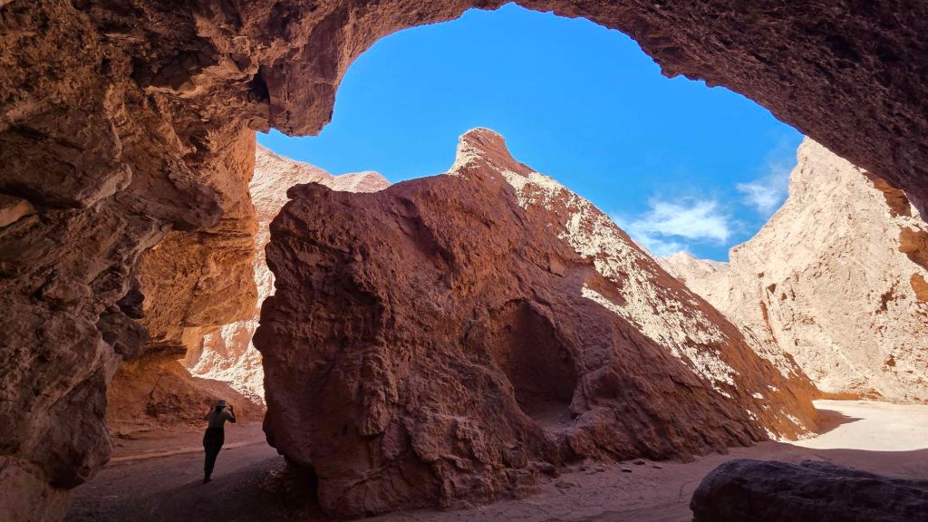
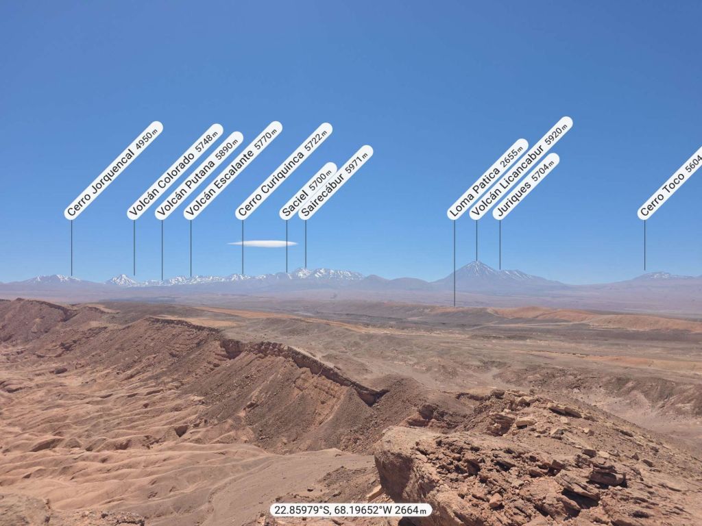
As you reach the “make a U-turn” point, a highly recommended bolt-on is to head up to the viewpoint high above the canyon floor.
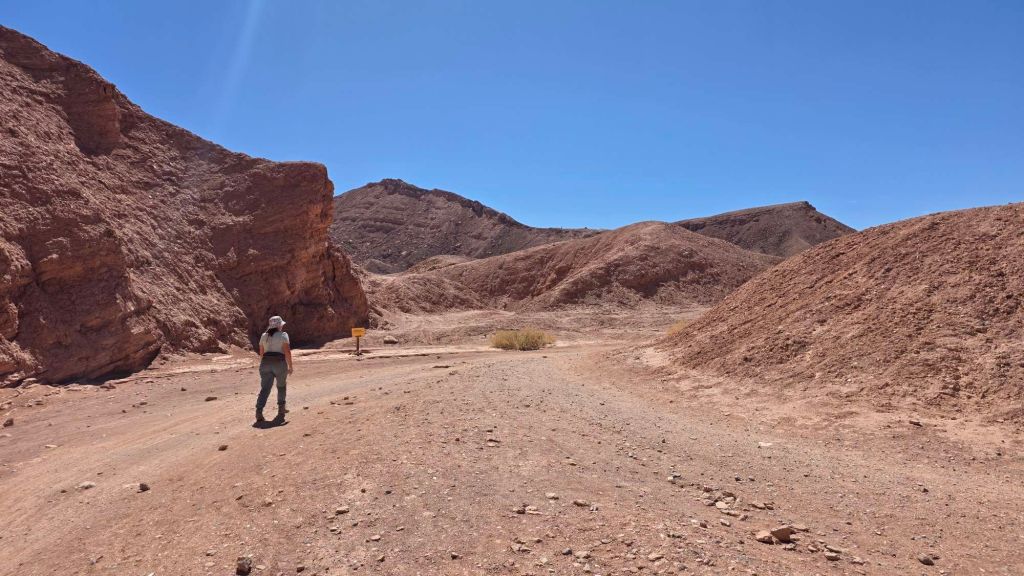
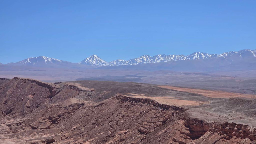
It’s only adds about a mile to the trip, and about a hundred metres of ascent, but the views over the back to the chain of volcanoes to the east is breathtaking.
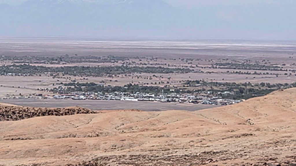
You can also get a different perspective on San Pedro.
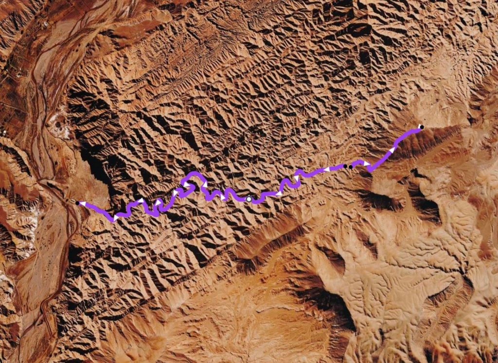
You get more of an impression of the Devil’s George’s labyrinthine journey through the Martian landscape in the track below (not to be confused with a different Mars Valley which we didn’t explore).
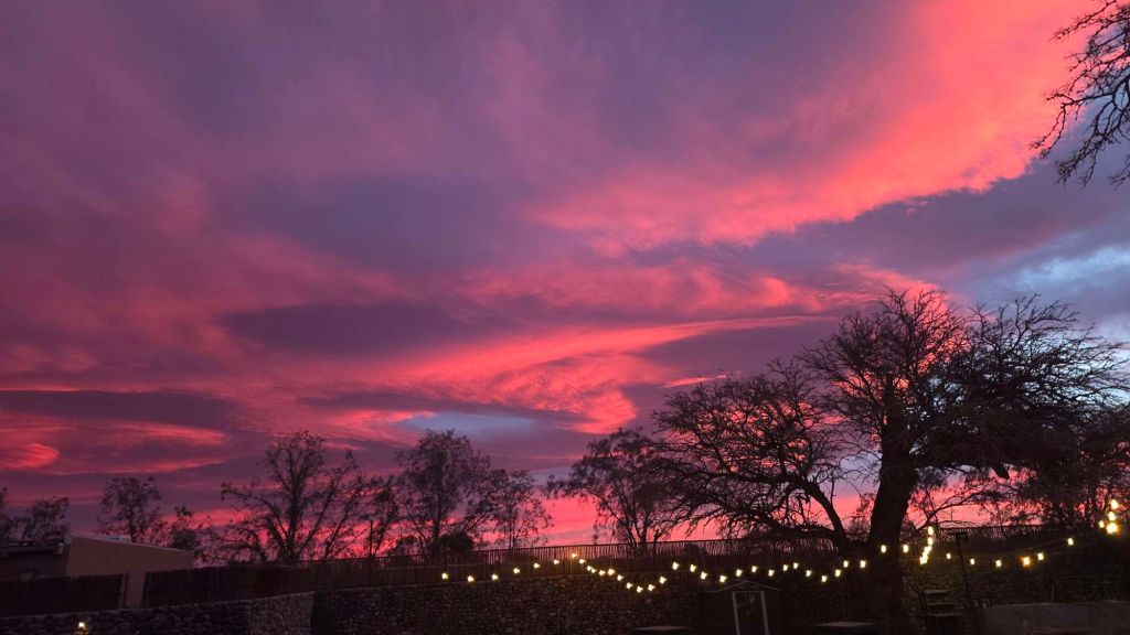
Cracking sunset from the hotel.
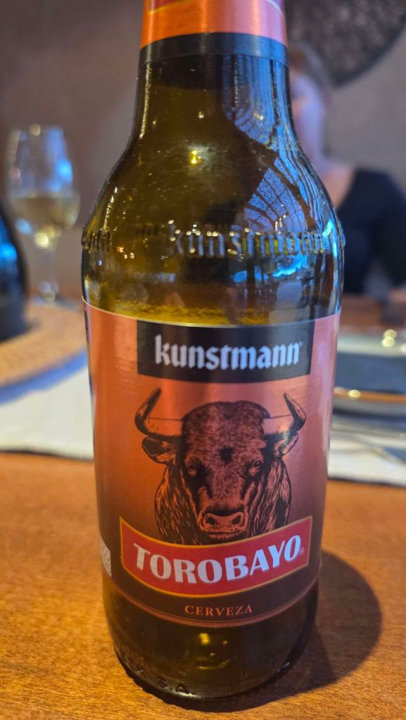
… and a relief that there are some fine local beer offerings, alongside the ubiquitous Heineken and Corona.
Piedras Rojas and Lagunas Miscanti y Miñiques
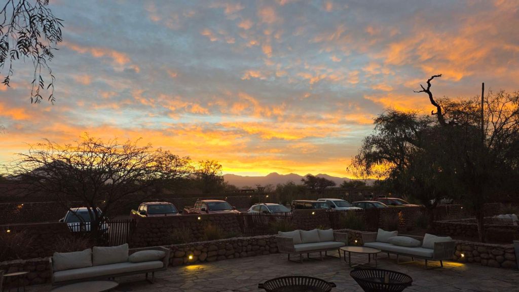
Not a bad sunrise the following morning either…
We were up early to head south for the Altiplano and some lakeland scenery. It’s a couple of hours drive south along autoroute 23, with much of the journey spent above 4,000m. Despite what the internet might suggest about 4wd, it’s asphalt all the way to Piedras Rojas, and the occasional pot holes are no worse than Glossop highstreet (though the consequences of a puncture are probably more serious!)
These sights combined are a huge draw for tourists, and you need to book tickets in advance for one of three timeslots, in a bid to even out the traffic. Sounds like a faff, but it works fairly smoothly. We opted to visit Piedras Rojas before the Lakes (the less popular option) which seemed to avoid the crowds.
The contrasting colours of water, rock, volcano and sky are a feast for the eyes.
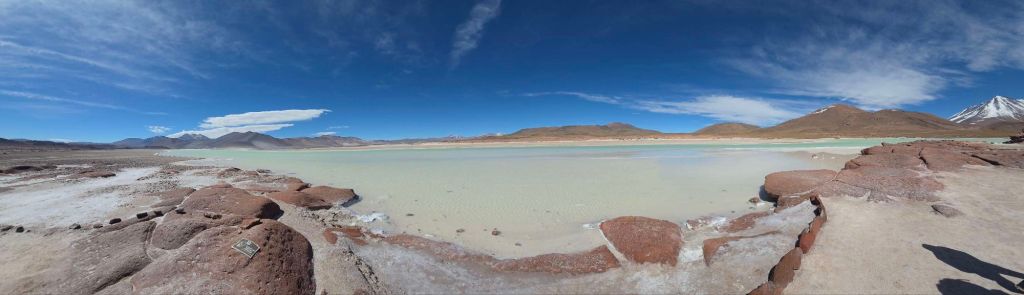
It’s a couple of kilometres gentle walk down to the shoreline, where the eponymous red rocks jut out into the lake to form a pavement peninsula. Visitors arrive in their convoy of matching minibuses, which disgorge their contents into an orderly line along the one-way system. Between these “waves” there are intervals of blessed tranquility and with a bit of patience you can enjoy the whole place to yourselves!
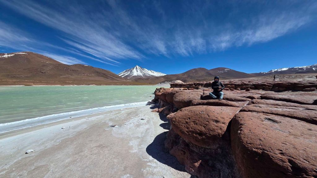
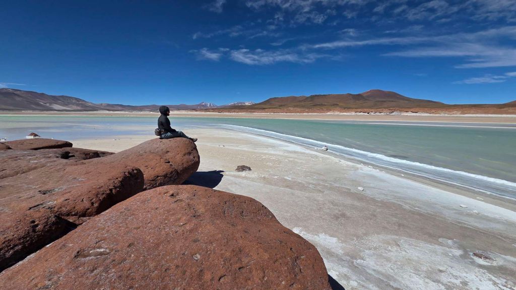
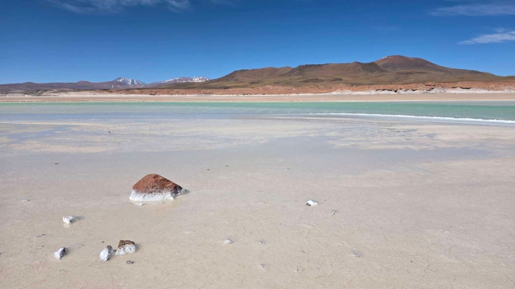
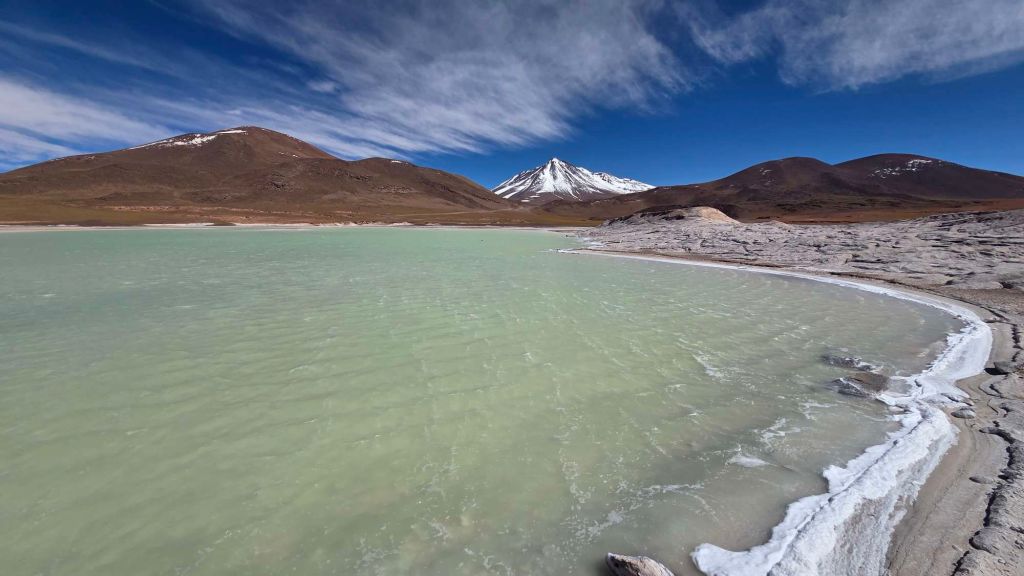
It’s worth stopping at the viewpoint on the journey back, for a birds-eye view of the whole lake.
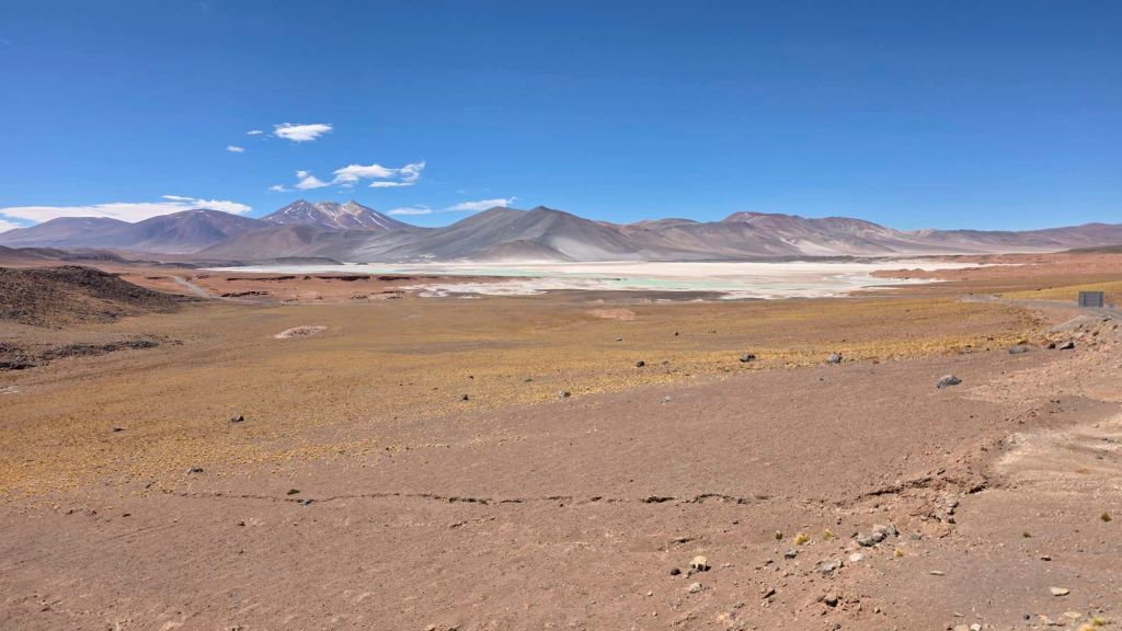
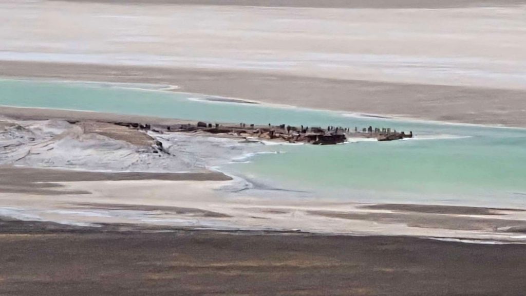
Look closely and the next tranche of visitors has arrived.
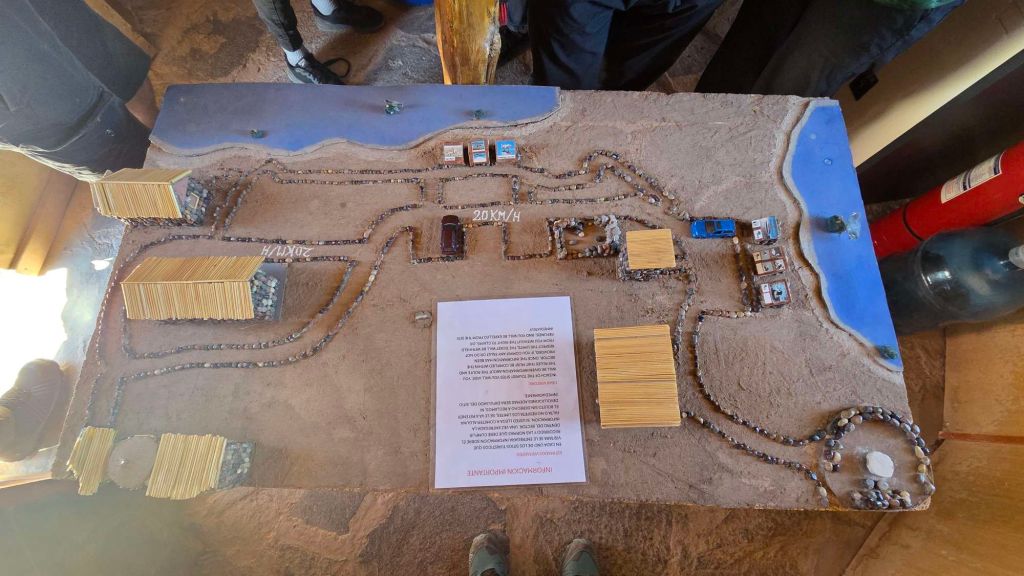
Lagunas Miscanti and Miñiques are adjacent lakes, set high above Route 23 and accessed by a well-maintained dirt road. A very friendly ranger explains the one-way system in Spanish, with the aid of this scale model and a toy car.
Miscanti is the big sister, fed by an underground spring, and set amongst (you guessed it) another string of stunning volcanoes.
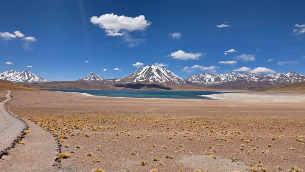
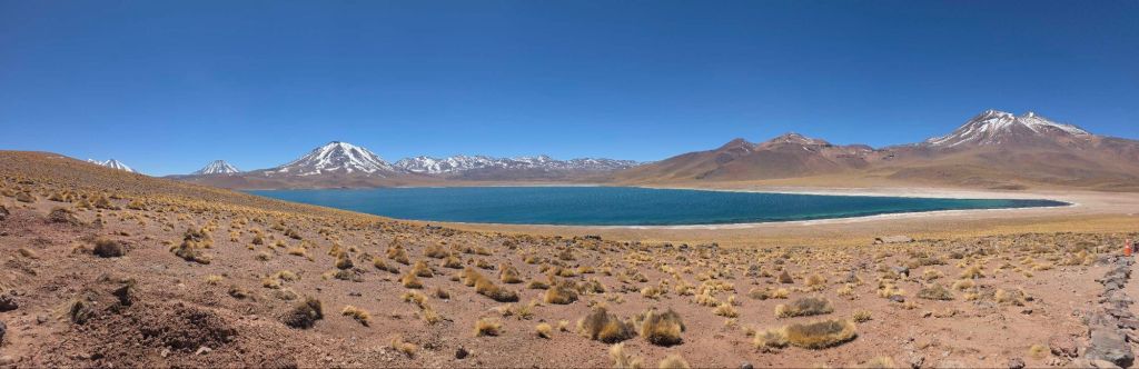
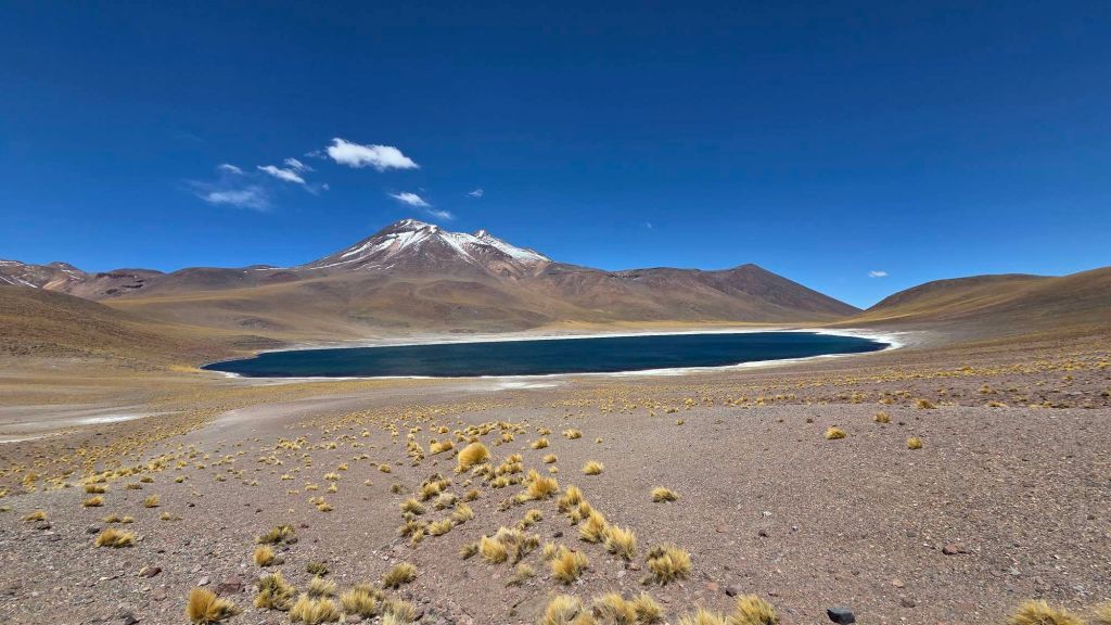
Miñiques is the baby sister, set apart from Miscanti beneath its eponymous volcano. By mid afternoon the crowds had thinned and we were able to enjoy the stunning ambience in splendid tranquility.
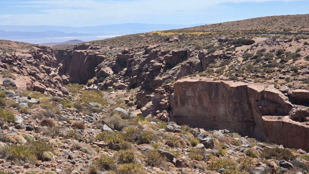
The journey back passes through the small gateway town of Socaire, home to a couple of the “banned” crags. No harm in a recce for a future visit. The climbing is set in a narrow ravine, on what looks to be quality volcanic rock. We’d certainly have done a few YECTOYDs if we’d had the opportunity, but it’s perhaps not a destination crag.
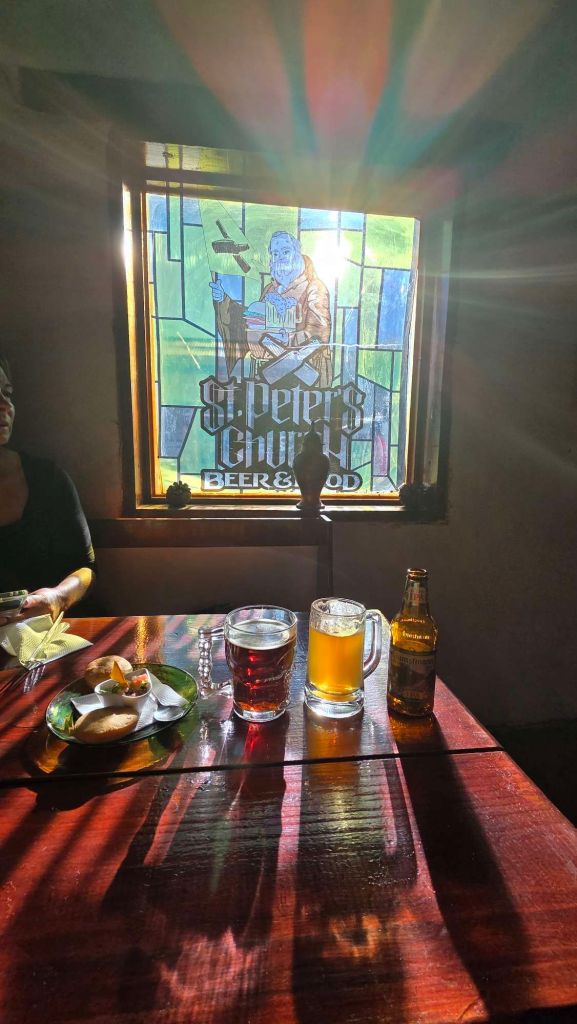
More beer exploration took us to the St Peter microbrewery in town…
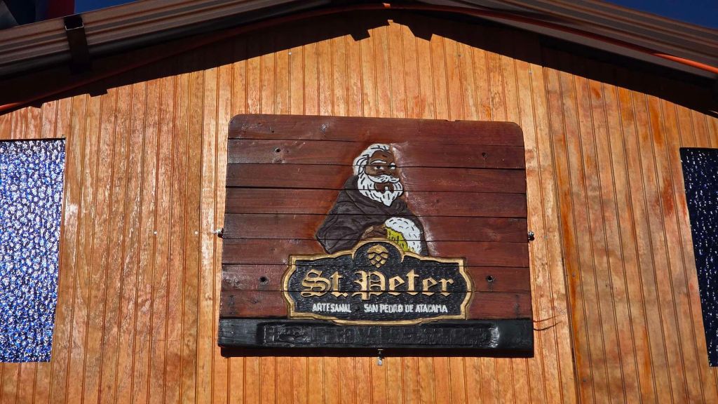
A fine spot for drinks and eats.
Cerro Toco
… and before we knew it, it was the evening before our last full day. We’d sampled most of the Atacama highlights – canyons, lakes, geysers, and other-worldly landscapes, all with the backdrop of stunning volcanic scenery. Pondering what to do as a grand finale, we realised that the answer was staring us right in the face! We should climb a volcano!
Licancabur is the poster child of San Pedro, and dominates the skyline. At 5,920m it would be a bit of a jump from our 4,000m acclimatisation, and anyway it’s quite a major undertaking. However, its near neighbour Cerro Toco is a much more feasible prospect…
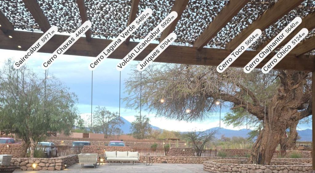
At 5,604m it’s still a big hill (and would add almost a mile to our lifetime high-point of a bunch of Alpine 4,000ers), however it’s brought potentially within scope of the barely-acclimatised passers-by due to having vehicular access to quite near the summit. A bit of internet research and some help from ChatGPT suggested it wasn’t a preposterous target, given our week at altitude. We ignored the strong suggestion to hire a guide (of course) and thought it best not to feed in our ages into the equation.
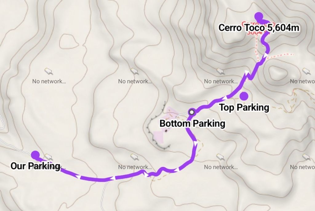
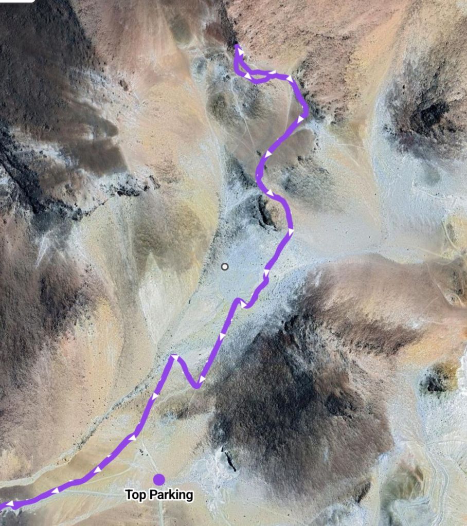
The key unknown was how far up the hill we’d be able to drive. There’s a “high parking” that gets you to almost 5,300m and barely a mile and 300m ascent to the summit, however you need 4WD to get there.
Alternatively, there’s a Bottom Parking, near the entrance to the observatory (which is the reason there’s a road there in the first place). This adds an extra 100m of ascent and about 750m of distance. Not a huge chunk, but maybe critical if you’re puffing and panting above 5,000m. We decided to give it a go anyway, with me half hoping that I’d be able to wrestle our 2WD truck up to the higher parking anyway.
As it turned out, we didn’t get close! We ground to a halt about 3km and 300m altitude short of even the lower parking. Our bright red Tonka toy, exposed as a busted flush – all fur coat, and no knickers! In fairness, the track had obviously deteriorated significantly since reports of 2WD access, and we’d already overcome some significant obstacles before perpetual wheelspin and a spluttering engine brought things to a premature halt.
To say we were disappointed would be an understatement, and it wouldn’t have been unreasonable for some members of the party to question the wisdom of those responsible for the hire car arrangements. Instead of recrimination, we wrestled our somewhat sham-faced truck (maybe blushing an even deeper crimson) to the side of the track, and set out on foot “… just to see how far we’d get”.
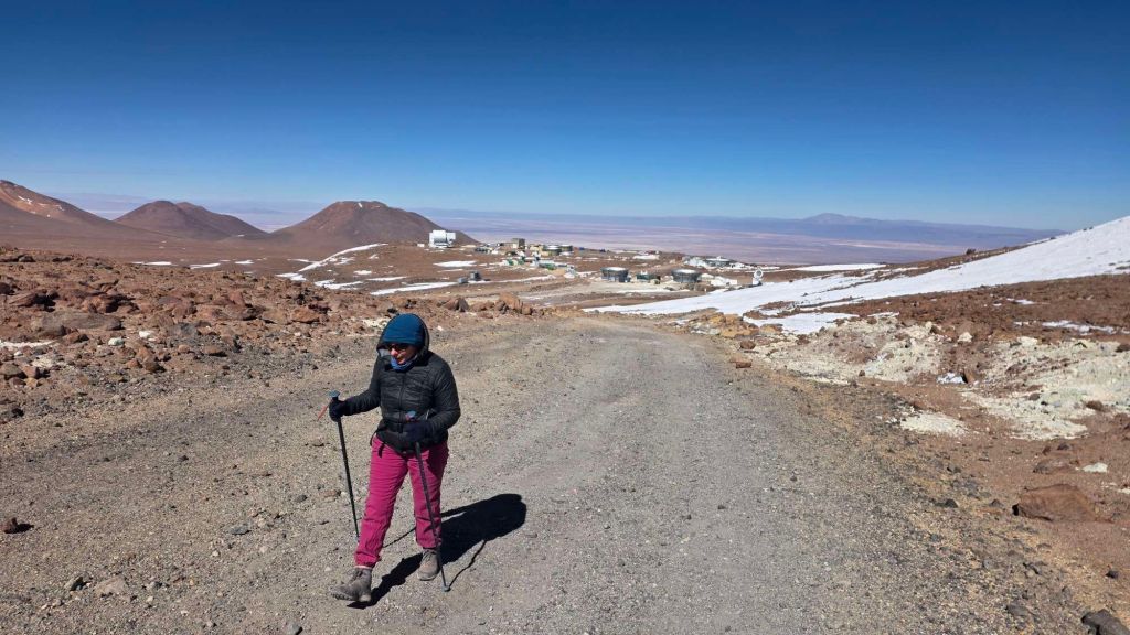
Chilly at over 5,000m – significantly sub-zero, and that’s before the wind-chill of 30mph winds. Somewhat to our surprise, we weren’t finding the altitude too debilitating as we plodded gently up the track (now smooth as a proverbial baby’s bottom after just a 100m portion of ugliness). Hrmm – I wonder how near we’ll get…
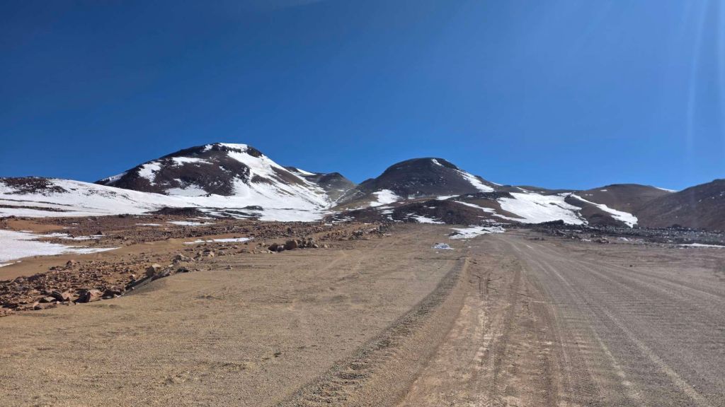
About 1:45hrs, 4km and 400m of ascent later, we were galled and chuffed in equal measure as we passed the four smugly parked 4WD vehicles at the Top Parking. Actually, “chuffed” was coming out on top, as we were both feeling okay. Onwards and upwards…
The path steepens but is well defined as it zigzags up the hillside, and the panoramic views are already worth the slog, even if we don’t make it to the top.
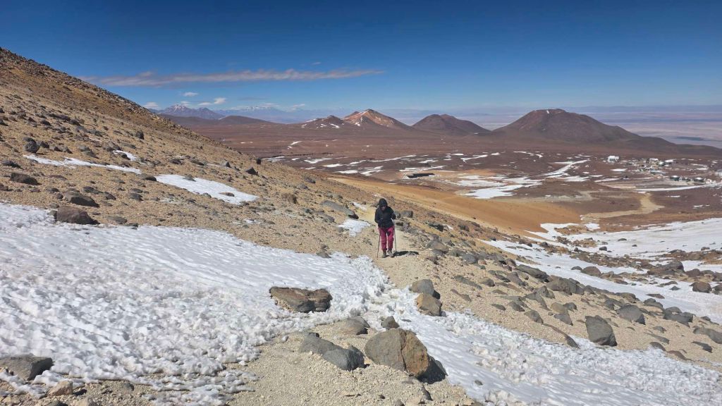
Odd patches of snow are bullet-hard despite it being well past midday – none of your European Alpine slushies here.
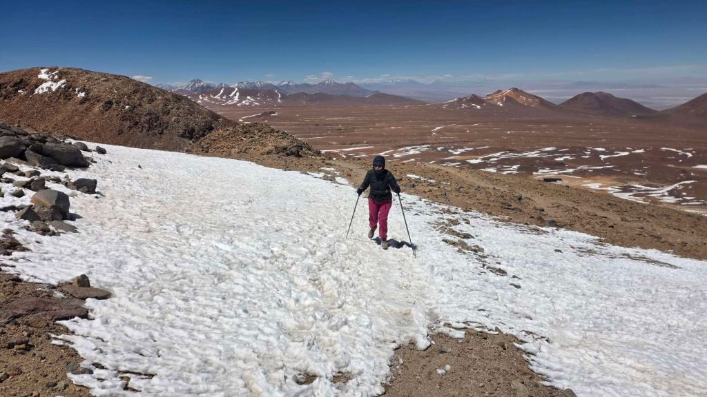
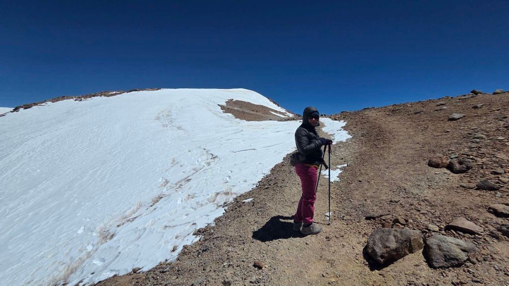
There’s a coll about a hundred metres below the summit, which opens up a whole new vista into Argentina, Bolivia and the high Andes. Breathtaking, in both senses!
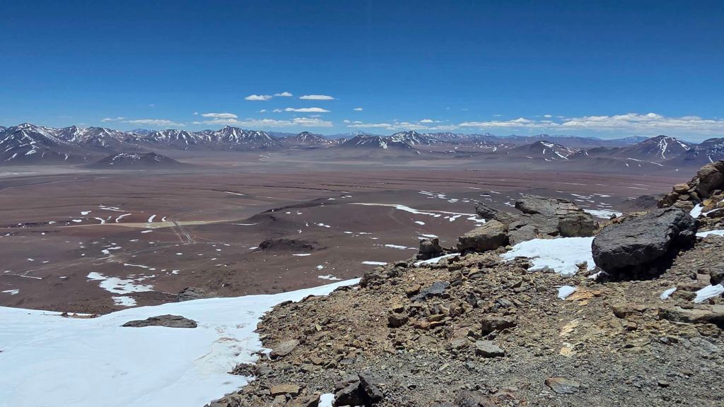
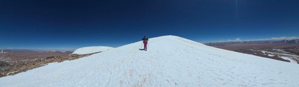
And before we know it, we’re at the top!
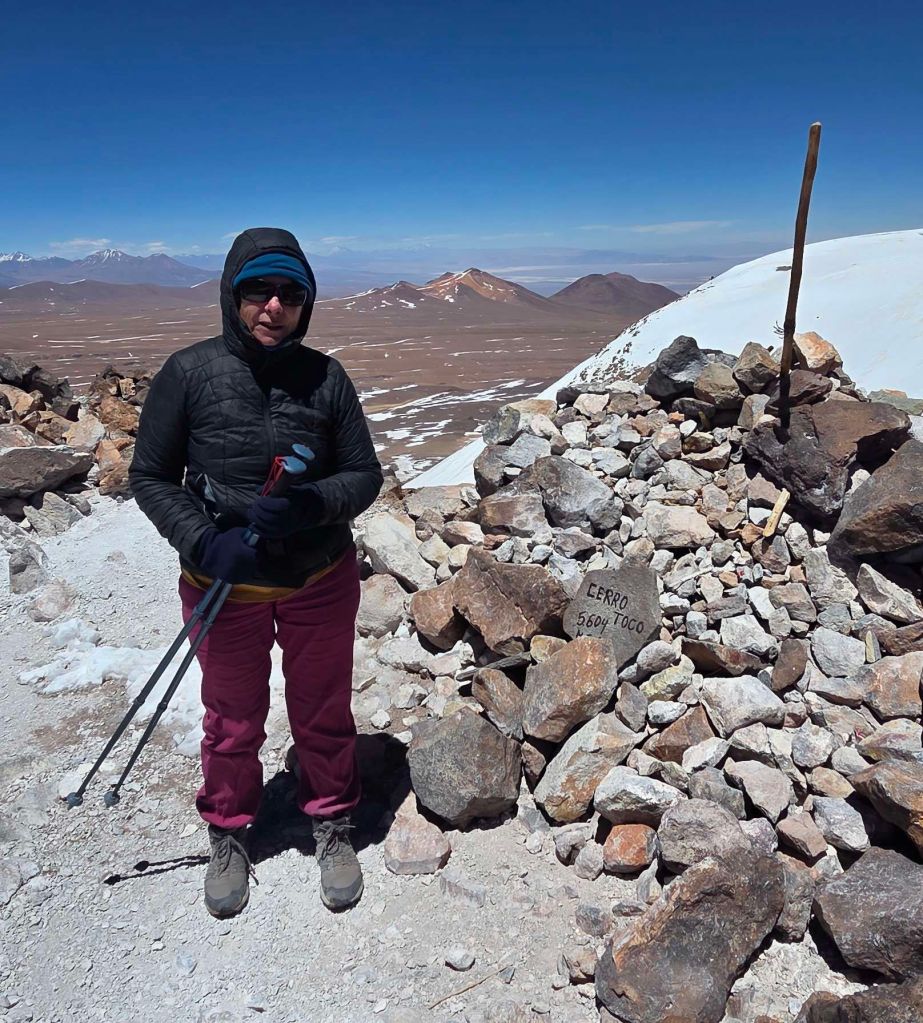
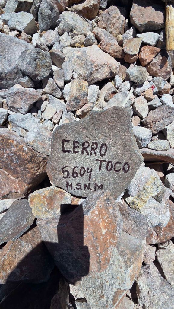
No cafe, or queue for the trig point, just 360-degrees views of magnificence.
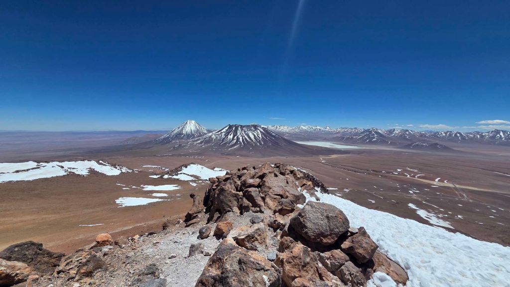
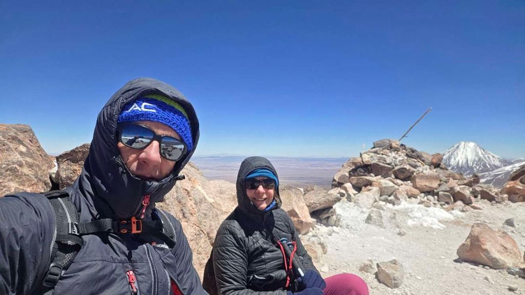
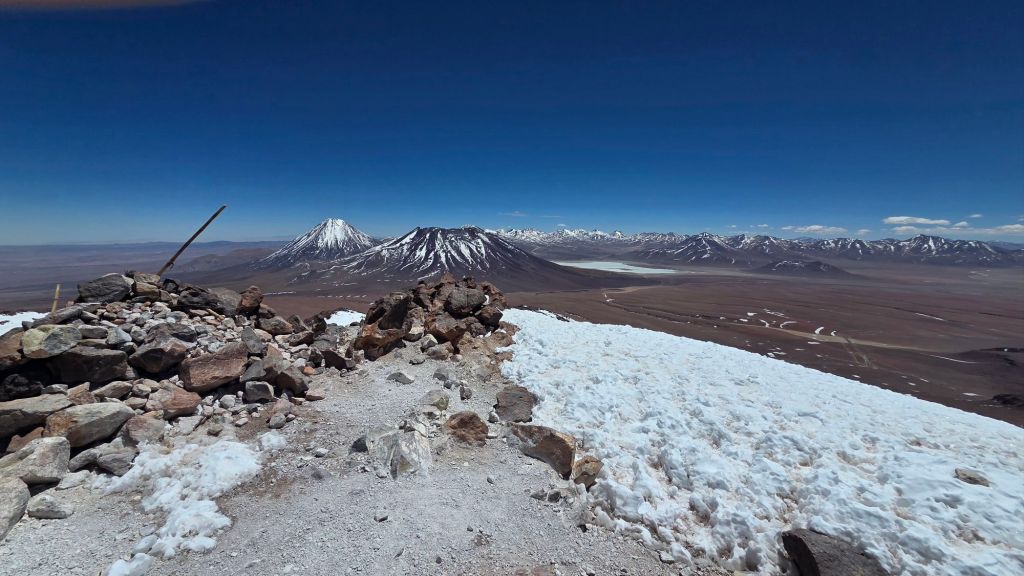
A team had passed us in their shiny 4×4 as we were abandoning our truck (in fairness, they’d asked if we needed help – but no space for a lift) so we were pretty pleased to catch them up on the summit, having given them a 4km and 400m head start 🙂
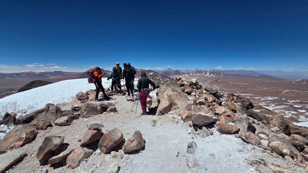
Quite chilly on the top, and no place to rest on our laurels. Time to head down. Amazing what a difference it makes when you flick the gravity switch, especially when every step is upping the oxygen concentration. We positively jogged down!
We bumped into a team of four young Brits and Aussies who’d arrived at the Upper Parking in a little silver Vitara, not long after we’d arrived on foot. We explained that yes, that was our red Tonka toy, abandoned in embarrassment far below. As we were contemplating the final 3km trudge back to the truck, they passed us and stopped to offer help. It only had four seats but they managed to squeeze Helen in, along with my rucksack, and I set off on a jog. The car team won, but not by that much! Meanwhile, they’d interrogated Helen about her age (now that she was no longer wrapped up in beanie and buff) and were suitably staggered by these fit and intrepid old codgers.
Here’s a track of the final push (or only push if you’ve aced the drive)…
Back at road level, I almost forgave our Tonka toy. The extra walk had made for a much more satisfying day, when viewed from the safe perspective of a successful ascent!
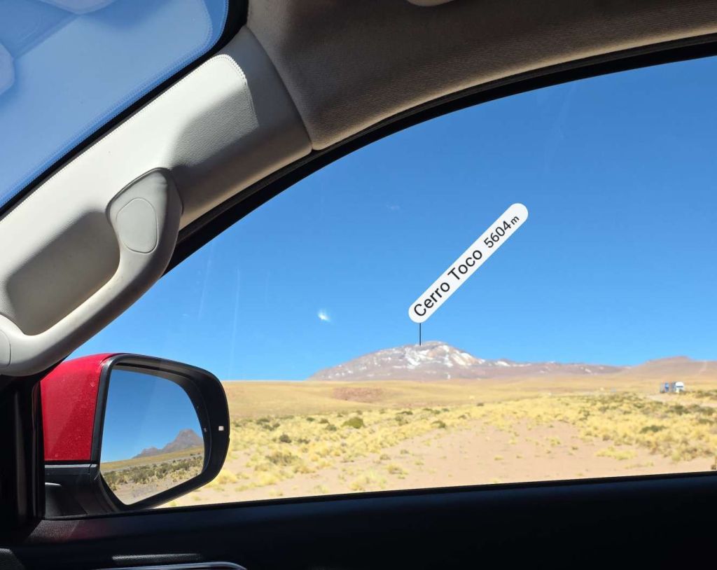
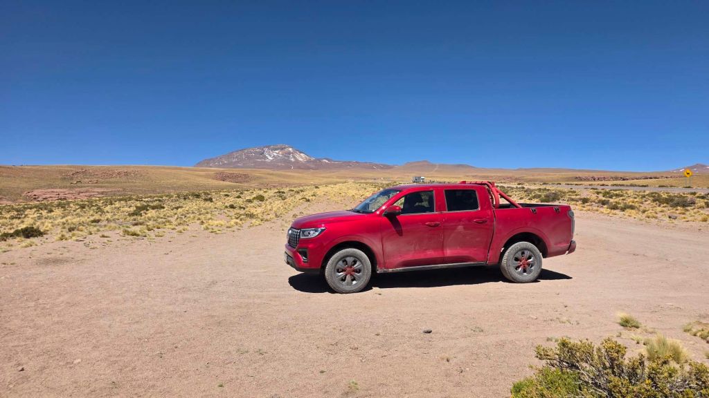
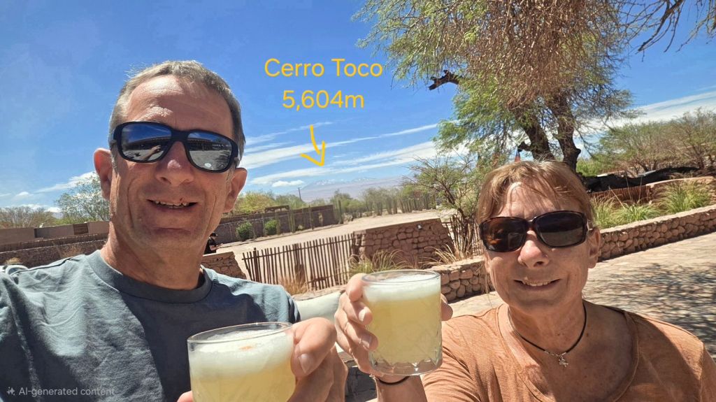
That’s it for our Atacama adventure. Bags packed and passing time in the sun before heading for Calama Airport and the flight to Santiago. Just time for a quick Pisco Sour and a toast to our ascent of Cerro Toco – Cheers!